Kenaboxisa
2 years ago

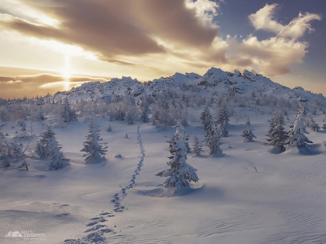
Mountain Dalniy Taganay, the northernmost and most extensive peak of the Bolshoy Taganay ridge, is located in the Chelyabinsk region, 25 kilometers from the city of Zlatoust. Its height is 1112 meters above sea level. At the top of the mountain, from 1932 to 2005, the Taganay Mountain weather station operated, which has now turned into a tourist shelter.
The toponym "Taganay" is probably of Bashkir origin and is translated as "Moon Stand". However, there are different opinions about its origin, including Indo-European roots.
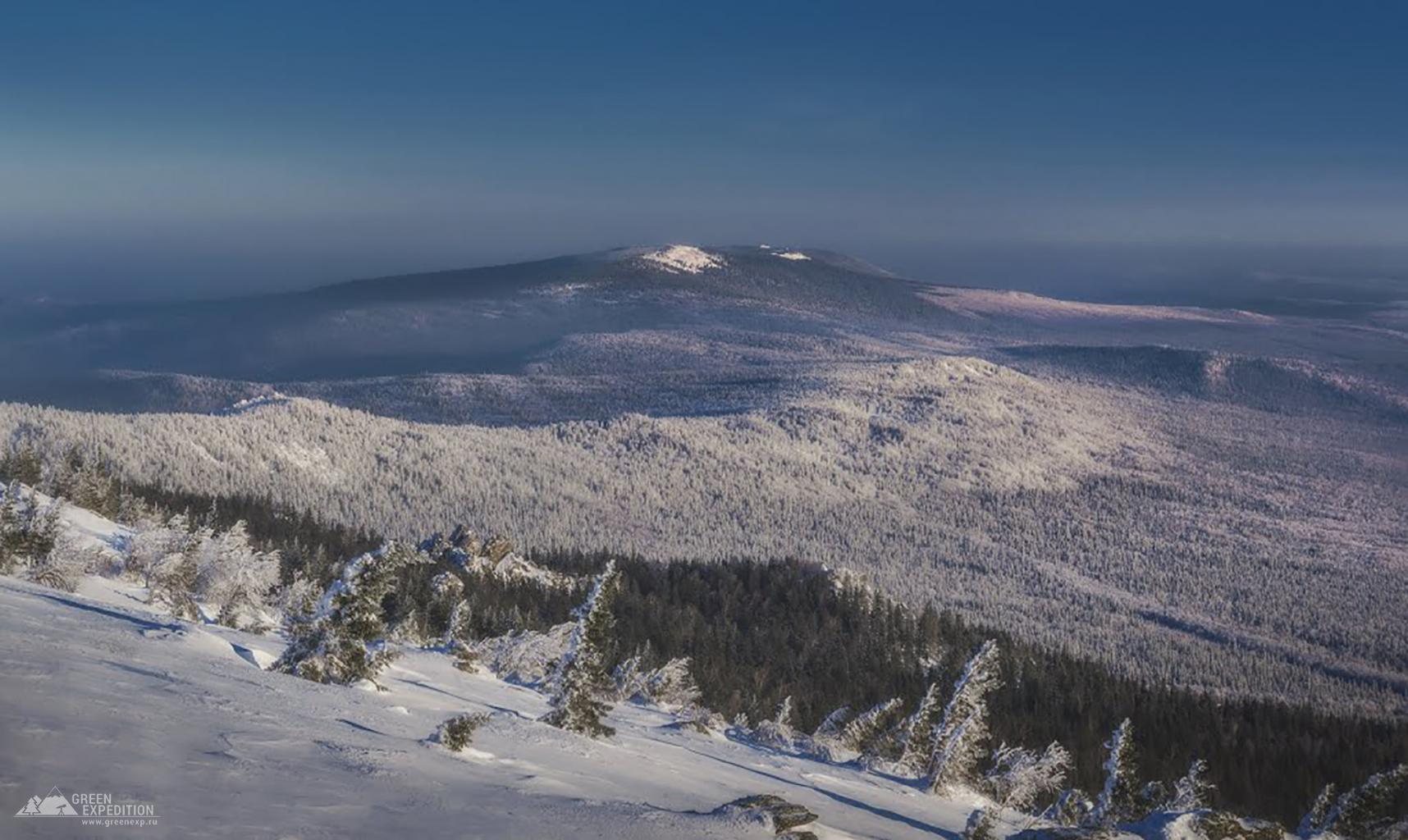
The mountain consists of three ridges, each of which has its own characteristics. The western ridge is composed of crystalline shale rocks, the northern side of the mountain is surrounded by forests, and the southern side passes into mountain tundra and steppes. The central ridge is composed of quartzite, while the eastern ridge is composed of shale rocks.
The surrounding area of the mountain is famous for its beauty and diversity of nature. At the top of Dalniy Taganay there were meteorological observation posts that recorded various weather indicators. This place is also famous for its stone remains, among which the Lenin's Cap formation stands out.
To reach Far Taganay from the city of Zlatoust, you can use hiking trails or book horseback riding routes from local travel companies.