Mik Catsvill
2 years ago

The Taganay-niz meteorological station was opened on August 1, 1930 at the foot of Dalny Taganay, at an altitude of 600 m above sea level. Two years later, on August 20, 1932, the Taganay Mountain weather station was opened at the top of the mountain, which became the highest in the Urals. The observation site was located at an altitude of 1112 m above sea level.
In December 1932, the weather station was named after the 2nd International Polar Year, and the information received at the station was used to make weather forecasts. Over 75 years of operation, the Taganay Gora weather station has recorded various weather records, including maximum and minimum temperatures, average annual wind speed and precipitation.
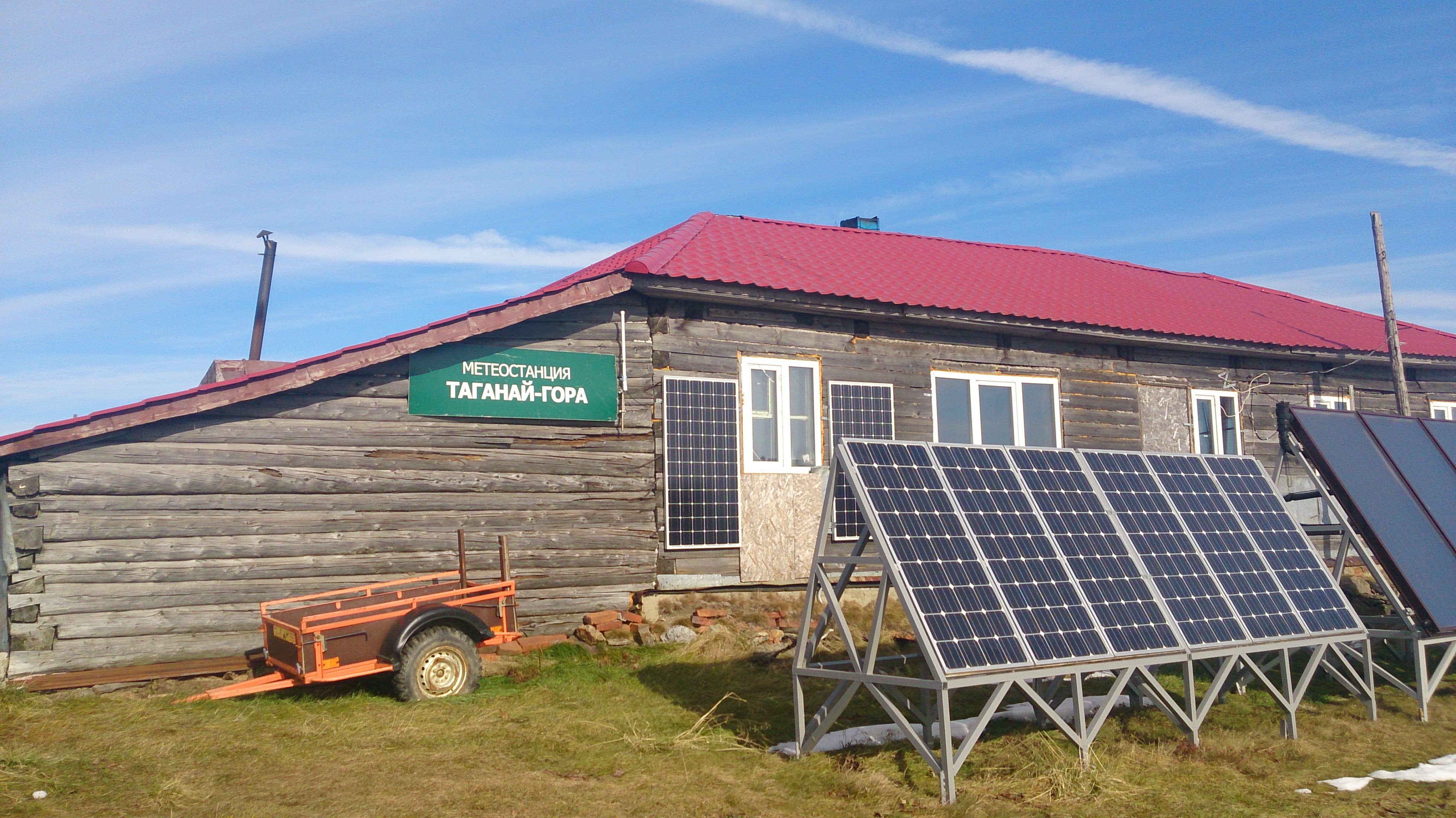
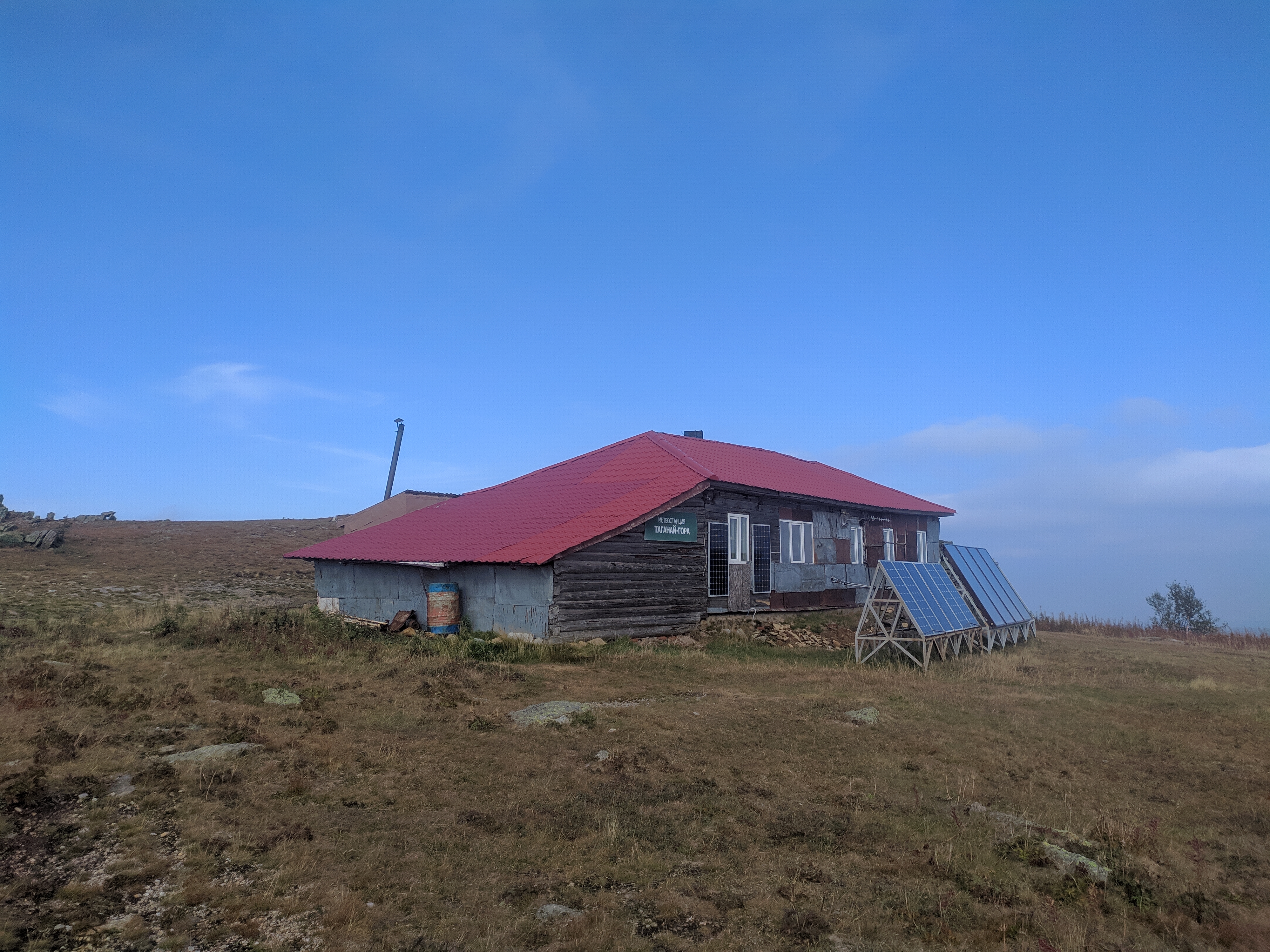
In January 2005, the station was closed, ceasing meteorological observation work. Currently, the station building is used as a hospital for the dendrology laboratory of the Institute of Plant and Animal Ecology of the Ural Branch of the Russian Academy of Sciences for monitoring weather and climate change, and also as a tourist shelter.
The shelter is located on a unique mountain plateau, and its ecosystem requires careful treatment. Tourists are asked to stick to the established trails so as not to disturb the fragile peace of the mountain tundra. The shelter can accommodate up to 16 people at a time. There are two routes to reach the shelter: the Lower Trail (25 km long) and the Upper Trail (3 km longer). In clear weather, the top of the mountain offers magnificent views of the surrounding cities and attractions, such as the Three Brothers rock outcroppings, the Cap rock ledge and the Camel rock ridge.