

Skip to content
Kenaboxisa

Kenaboxisa

  • Member since 2024
10
Level 10 · Explorer417 / 600 XP

Activity in the last year

291 actions

Photos

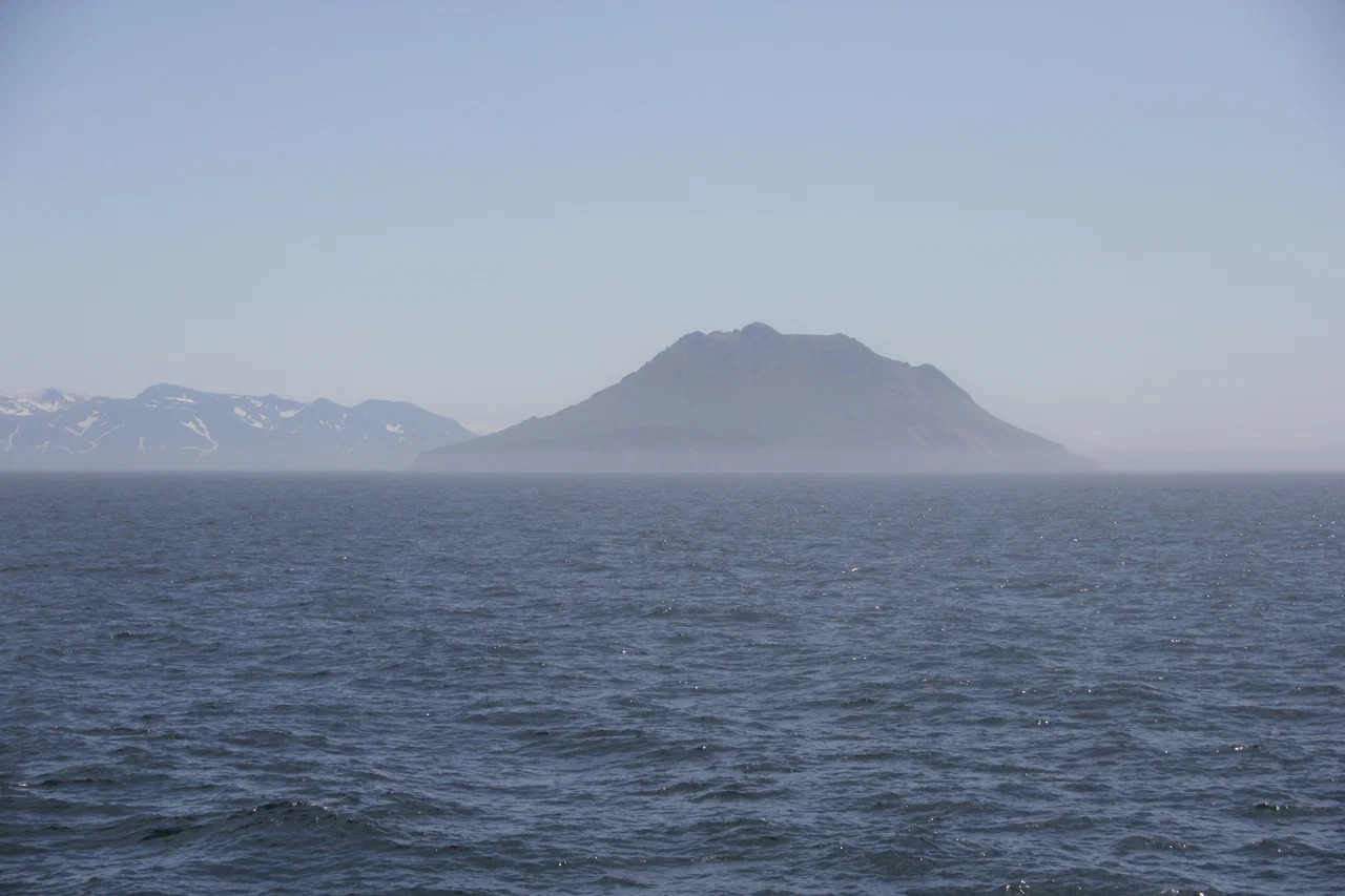
  • Остров Анциферова. Photo 1
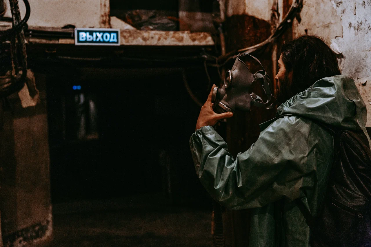
  • Бункер-703. Photo 2
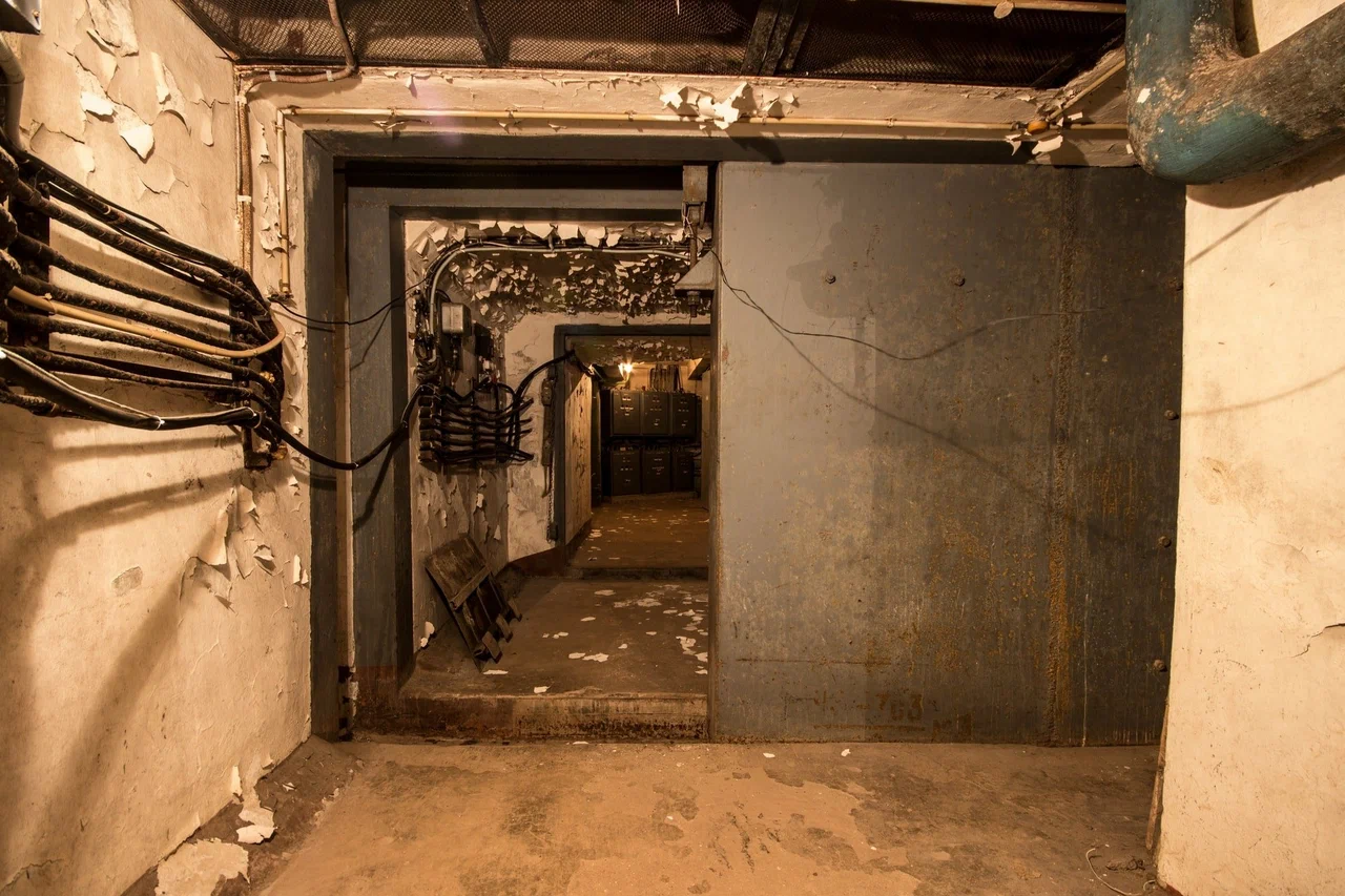
  • Бункер-703. Photo 3
  • Бункер-703. Photo 4
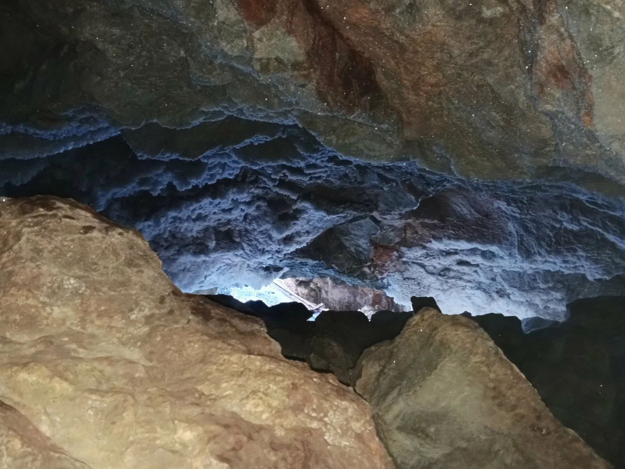
  • Аракаевские пещеры. Photo 5
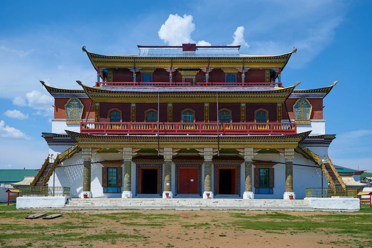
  • Цугольский дацан. Photo 6
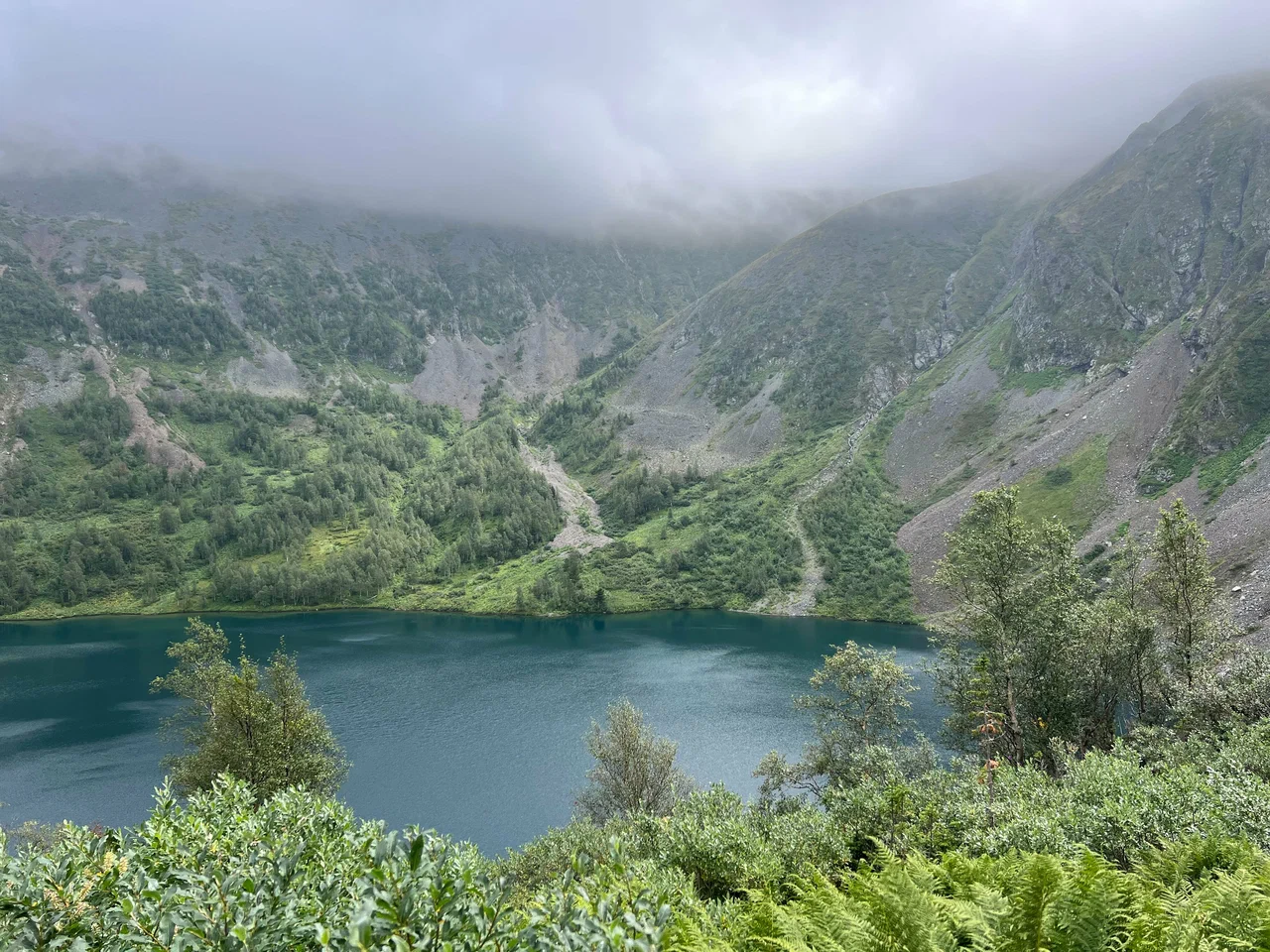
  • Озеро Большое Ивановское. Photo 7
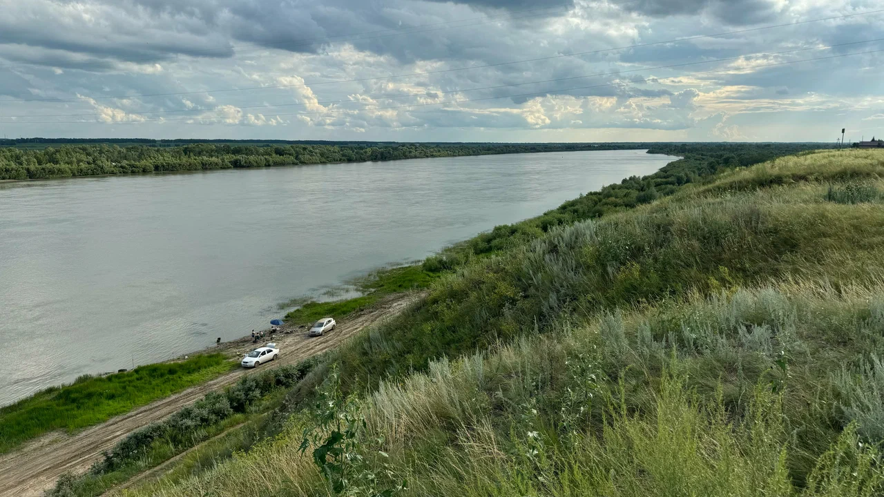
  • Берег Черского. Photo 8

11 November

Kenaboxisa added a place

Antsiferov Island (Ostrov Antsiferova) is a small, uninhabited island at the northern end of the Greater Kuril Ridge, in the Sea of Okhotsk off Kamchatka's eastern coast. It belongs to the Severo-Kurilsk municipal district of Sakhalin Oblast and is separated from the larger Paramushir Island by the

Kenaboxisa added a place

Bunker-703 is a former secure underground storage facility of the USSR Ministry of Foreign Affairs, now open as a museum of modern fortification. It is located in the Zamoskvorechye district of Moscow, at 2nd Novokuznetsky Lane, building 14, structure 1, next to the Paveletskaya metro station and ac

Kenaboxisa added a place

The Arakaevo Caves are karst cavities on the left bank of the Serga River in the Nizhneserginsky District of Sverdlovsk Oblast, within the Olenyi Ruchyi (Deer Streams) nature park. The Great Arakaevo Cave lies about 2.5-5 km northeast of Arakaevo railway station, while the Small Arakaevo Cave is a b

Kenaboxisa added a place

Tsugolsky Datsan, also known as Dashi Choypelling ("Land of Multiplying the Teaching of Happiness"), is the oldest Buddhist monastery in Zabaykalsky Krai. It stands on a gentle south-facing hillside above the floodplain of the Onon River, at the mouth of the Tsugol River, in the village of Tsugol, M

Kenaboxisa added a place

Bolshoye Ivanovskoye Lake lies in the Ordzhonikidzevsky district of the Republic of Khakassia, on the land of the Priiskovy rural council. It sits in a gorge at the headwaters of the Pravaya Sarala river, surrounded by the mountains of the Kuznetsky Alatau ridge, at an elevation of about 1,290 meter

Kenaboxisa added a place

Mount Khagumeru rises on Cape Passeka, on the southern edge of Nakhodka urban okrug in Primorsky Krai, within the city limits of Nakhodka. The summit stands right above the sea and, seen from the water, looks like a rocky ridge covered with an oak grove. The nearest notable landmark on the map is La

Kenaboxisa added a place

Chersky's Shore is a geological outcrop on the right bank of the Irtysh River on the southern edge of Omsk, near the village of Novaya Stanitsa. It is a regional natural monument and the highest point in Omsk above sea level, at 123 metres. History and name The outcrop is named after the geologist

Kenaboxisa added a place

Nikolskaya Cave lies in Chelyabinsk Oblast, in the Ashinsky municipal district, six kilometers from the town of Minyar, on the slope of the Zolotov Dol ravine near the Sim River. It is a two-level karst cavity of the linked-chamber type, formed on the site of a former karst spring in Devonian limest

Kenaboxisa added a place

Orlinoye Gnezdo (Eagle's Nest) Hill is a rocky summit in the central part of Vladivostok, in Primorsky Krai, and the highest point of the city's historic core. Its elevation is 199 meters above sea level. Geologically the hill belongs to the southern spurs of the Sikhote-Alin range, and it sits betw

Kenaboxisa added a place

Siniy Utyos (literally "Blue Cliff") is a geological nature monument on the right bank of the Tom River. It lies about 16 kilometers south of Tomsk, between the city itself, the Tomsk — Kolarovo road and the village of Kolarovo, in the Tomsky District of Tomsk Oblast. Locals also know the cliff unde

Kenaboxisa added a place

Chalpan Mountain stands in the Shirinsky district of Khakassia, on a narrow isthmus that splits Lake Bele into its salty and freshwater parts. The mountain lies within the Ozero Bele section of the Khakassky Nature Reserve. It rises 586 meters and covers an area of about 200 hectares. History O

Kenaboxisa reached a new level

10Level 10

Kenaboxisa added a place

Gorobets Bay (Bukhta Gorobets) lies on Shikotan Island, in the Yuzhno-Kurilsky municipal district of Sakhalin Oblast, close to the village of Krabozavodskoye. Shikotan is one of the southern islands of the Lesser Kuril Ridge, and its coastline is cut by many small bays. Crab Bay (Krabovaya) lies nex

Kenaboxisa added a place

Abzanovsky Waterfall, also known as the Assinsky or Mirror Waterfall, lies in the Arkhangelsky district of Bashkortostan, near the villages of Abzanovo and Asy, roughly 150 kilometers from Ufa. A small stream falls from a limestone rock known locally as the Weeping Stone, dropping about six meters.

Kenaboxisa added a place

Kostyonkovskie Rocks (Kostyonkovskie skaly), also known locally as the Blue Rocks, are a regional nature monument in the Novokuznetsk municipal district of Kemerovo Oblast, on the bank of the Chumysh River near the village of Kostyonkovo. The rocks rise above a narrow canyon of the river in the Sala

Kenaboxisa added a place

Bogdan Khmelnitsky Volcano is an active stratovolcano on Iturup Island, in the Kurilsky municipal district of Sakhalin Oblast. It stands on the Chirip Peninsula, in the southern part of the Dvugorby Ridge, and together with Chirip Volcano, located 4 km to the north, forms a single volcanic massif. T

Kenaboxisa added a place

Nikolskaya Sopka (Russian: Никольская сопка) is a low hill right in the centre of Petropavlovsk-Kamchatsky, on the shore of Avacha Bay, bordering the city's historic core. Since 1983 the hill has held the status of a natural monument. For the city's residents it is both a viewpoint over the bay and

Kenaboxisa added a place

Golyginskiye Thermal Springs (also known as Golyginskiye Klyuchi) are a group of mineral hot springs in the southern part of the Kamchatka Peninsula, in the Ust-Bolsheretsky municipal district of Kamchatka Krai. The springs emerge on the right bank of the Golygina River, about 2 km upstream from its

Kenaboxisa added a place

Lake Russkoye (Ozero Russkoye) lies in the south of Sakhalin Island, in the Korsakovsky urban district of Sakhalin Oblast, fifteen kilometers from the village of Okhotskoye. The lake occupies part of the Muravyovskaya lowland, a stretch of low, lake-rich shoreline between Mordvinov Bay of the Sea of