Kenaboxisa
2 years ago

The Zaozerny Range is a mountain range located in the Chelyabinsk region in the Southern Urals. Its name comes from its location beyond Lake Turgoyak. The ridge includes Varganova Mountain and extends between the Ilmen Mountains and the Uraltau Range.
The highest height of the ridge is reached on Zaozernaya Mountain, which reaches a height of 683 meters, and Varganova Mountain - 763 meters. Rocks that predominate in this region include granite and granodiorite.
The crest of the ridge is a high rocky ridge, which breaks off in places, stretching for a kilometer. On the eastern side the cliffs are steep and steep, and on the western side they are gentle. Especially picturesque rocky outcrops are called Samovars.
The Kushtumga River flows at the western foot of the ridge, and the ridge itself is covered with mixed forest.
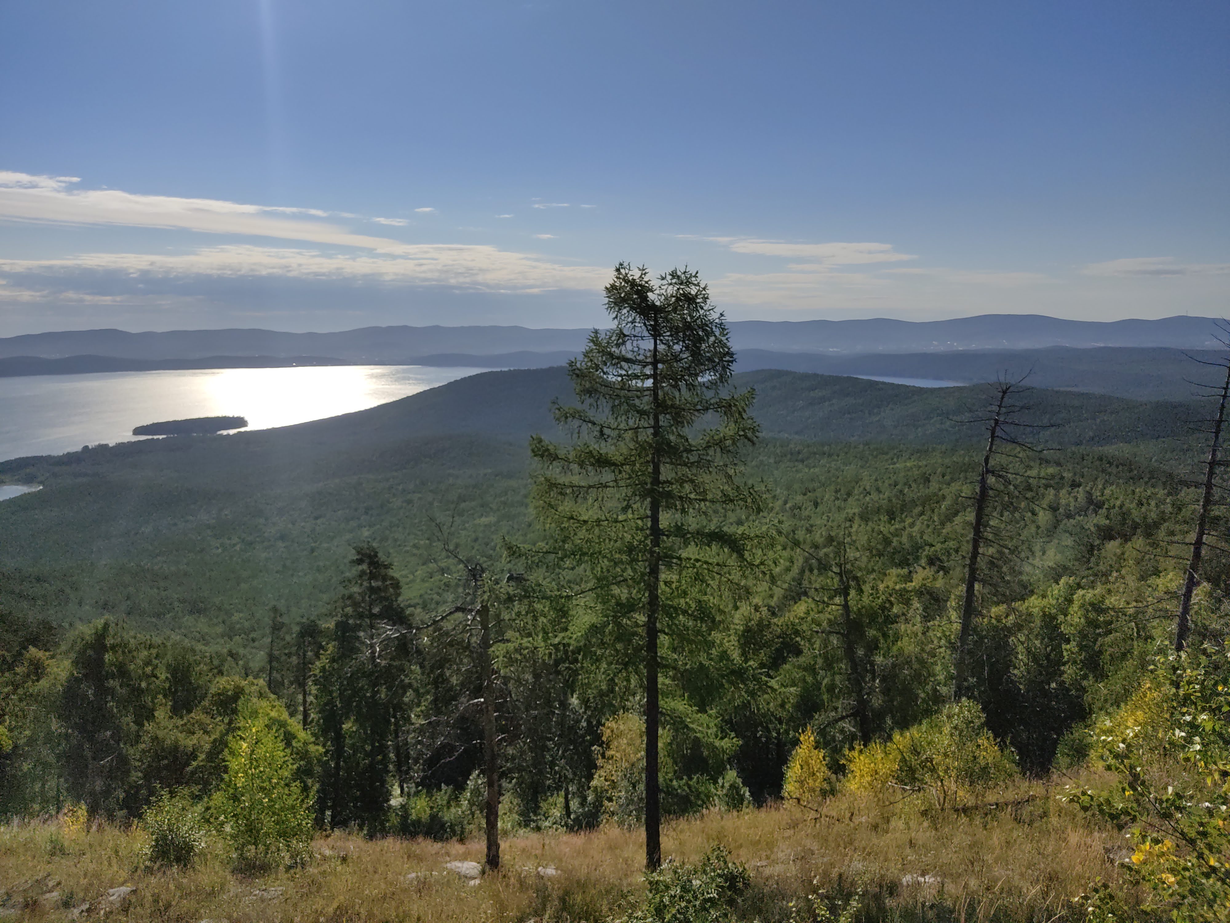
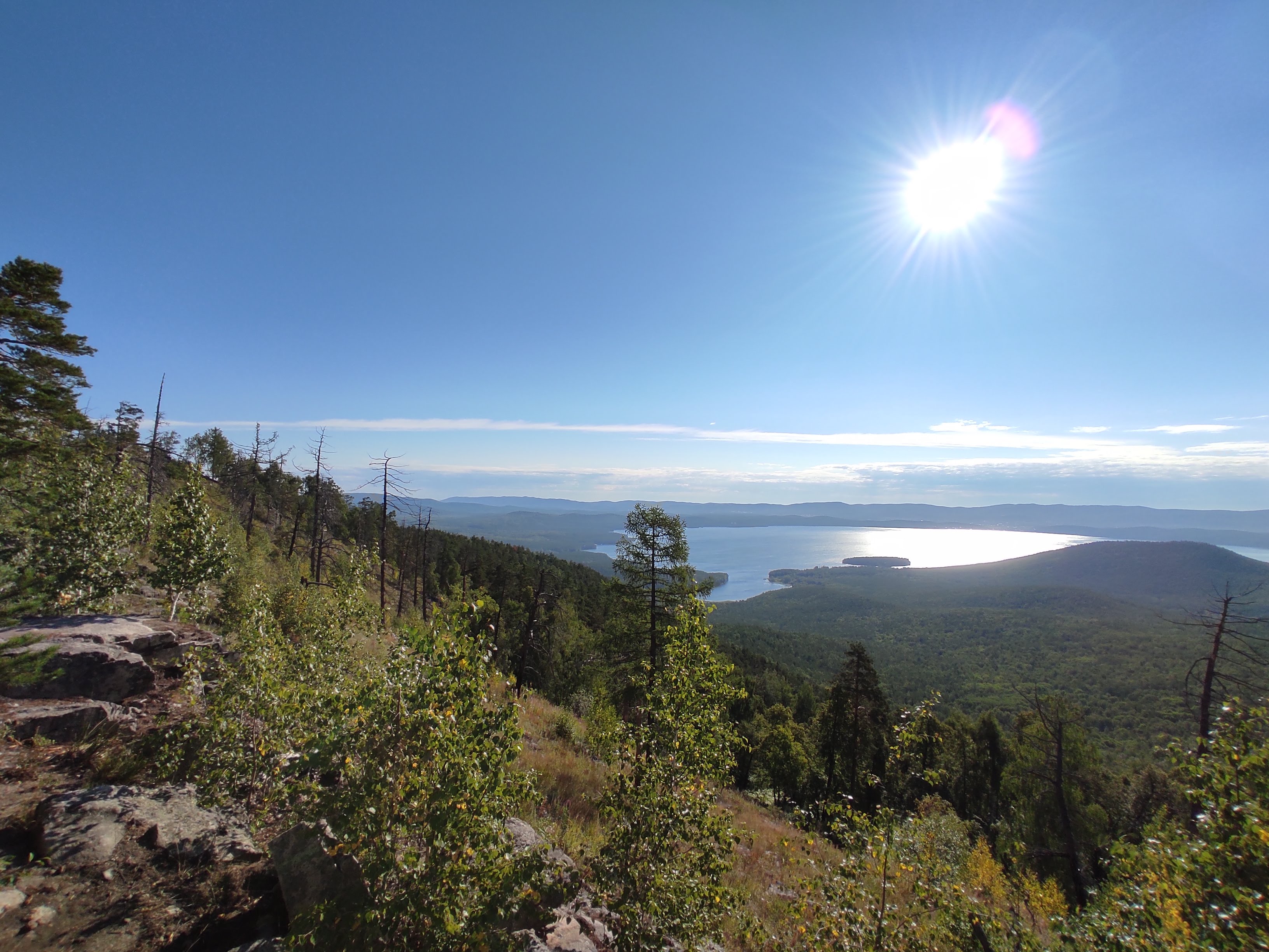
A hiking trail passes through the crest of the ridge, which was previously part of the All-Union route No. 55. From this trail there is a panoramic view of Lake Turgoyak, the Vera Peninsula, the Ilmen Mountains, the village of Turgoyak, Mashgorodok, the Talovsky Ranges, the Ural Range, Itsil and Taganay.
The Zaozerny ridge covers Lake Turgoyak, passing above it at a distance of about 3 kilometers. This arrangement of ridges, atypical for the Southern Urals, may be associated with the meteorite origin of Lake Turgoyak.