Екатерина
2 years ago

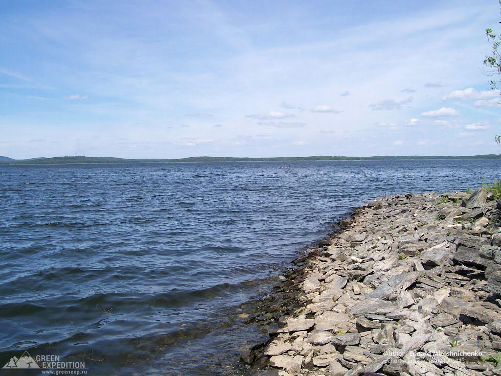
The Argazinskoye Reservoir, located in the Argayashsky District of the Chelyabinsk Region, is a large artificial reservoir, the largest in the region. Its construction began in 1939 on the Miass River and was completed seven years later in 1946 with the construction of the Argazinskaya Hydroelectric Station dam. The reservoir received its name from Lake Argazi, which was flooded during the creation of the reservoir. The name of the lake, in turn, comes from the Turkic male name "Arguzha," which means "good master" or "owner."
The Argazinskoye Reservoir has the following characteristics:
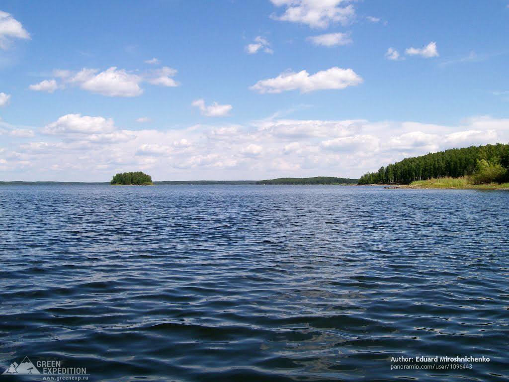
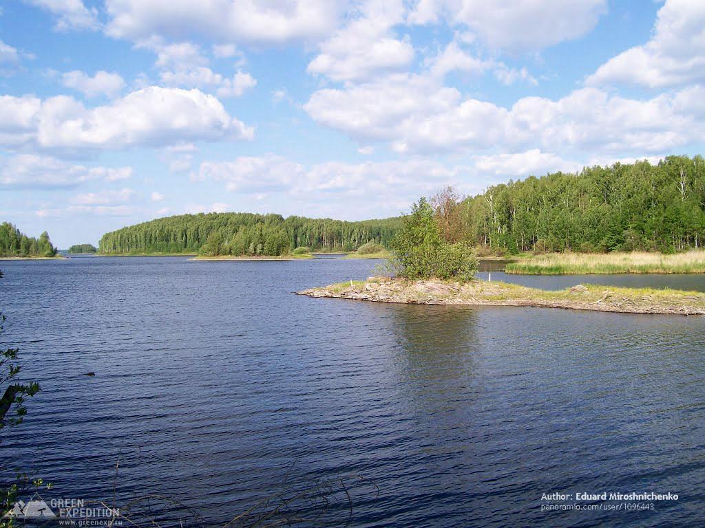
Today, the Argazinskoye Reservoir plays a key role in providing drinking water to the city of Chelyabinsk. However, due to annual fluctuations in the water level, the shoreline is significantly indented, and some areas are covered with dense forest. The reservoir is home to about 45 islands, some of which are natural monuments, such as the "Lipovyy" island due to the abundance of lime trees growing on it.
The historical significance of the Argazinskoye Reservoir is emphasized by the presence of more than 100 monuments and archaeological finds dating back to various epochs from 12,000 years BC to the 18th century AD. Modern environmental problems include the shallowing of the reservoir and the impact of the Karabash Copper Smelting Plant.
The reservoir is also popular among fishermen due to the variety of fish species inhabiting its waters. The Argazinskoye Reservoir is a popular destination for tourists in the warm season, offering both organized and wild recreation opportunities.