
Skip to content
Куприянов Виктор
  • Reputation:
    0
  • Level:
    5
  • Experience to a new level:
    193
  • Registration:
    22 June 2024
  • Was here:
  • Personal page:
    Not specified
  • Geotags:
    8
  • Photos:
    22
  • Ratings:
    0
  • Reviews:
    1
  • Editing:
    19
  • Places visited:
    0
Photographer
Curator

Куприянов Виктор

  • Шар около Дубны. Photo 1
  • Пик Калицкого. Photo 2
  • Пик Калицкого. Photo 3
  • Пик Калицкого. Photo 4
  • Пик Калицкого. Photo 5
  • Озеро Бирджалы. Photo 6
  • Гора Сирх. Photo 7
  • Урочище Немецкий аэродром. Photo 8

Activity in the last year

17 actions

21 May

Куприянов Виктор edited the description
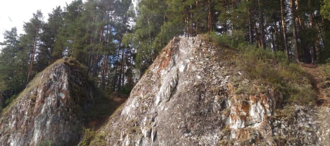
Russia, Rysakayevo4.013.9k5

The Seven Brothers Rocks in Bashkortostan are another example of mountain outcrops, whose appearance is inspired by the number of protruding rocks. This amazing place is located about 20 km from the city of Beloretsk and offers the opportunity to enjoy beautiful scenery and active recreation. Sever

Куприянов Виктор edited the description and the cover

Russia, Saraktashskiy rayon3.018.6k8

Red Mountain, located in the village of Saraktash in the Orenburg region, is a unique place that attracts many tourists all year round. This tourist complex amazes with its atmosphere and architecture. The mountain rises on the right bank of the Sakmara River, and its name comes from the color of i

20 May

Куприянов Виктор wrote a review

Да, изначально это был радиопрозрачный купол (радом) - защитное укрытие для антенны радиолокационной станции от дождя, ветра и обледенения. Такие купола применялись в системах ПВО и ПРО. Стеклопластик пропускает радиоволны, поэтому антенна внутри работала без помех. Но конкретно этот экземпляр был уже списанным. По словам инженера из Дубны Леонида Симанскова, в 1986 году НПО "Алмаз" планировало построить рядом с деревней Игнатово экспериментальный посёлок - базу отдыха для сотрудников. Купол доставили вертолётом Ми-6 и хотели переоборудовать в киноконцертный зал с танцполом. Посёлок так и не достроили, а шар остался стоять в лесу, обрастая легендами. Так что военное прошлое у него действительно есть, но в лесу под Дубной он оказался уже в гражданском качестве 🙂

Russia, Ignatovo5.7k8

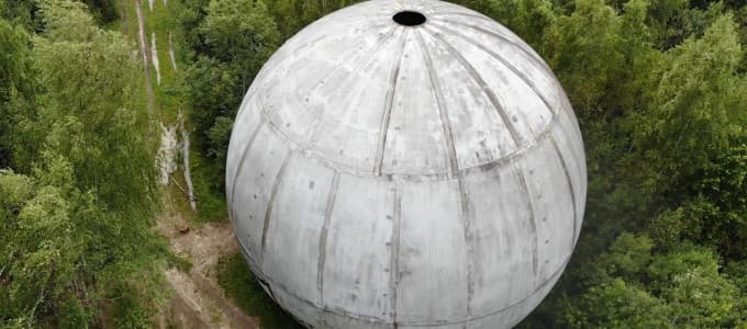
A hollow ball near Dubna, with a diameter of about 18 meters, was located in the forest in the Kimry district of the Tver region, near the village of Ignatovo, not far from Dubna. This ball was made of fiberglass with a honeycomb structure and was a sphere truncated at the bottom, firmly attached to

Куприянов Виктор added a photo

Russia, Ignatovo5.7k8

A hollow ball near Dubna, with a diameter of about 18 meters, was located in the forest in the Kimry district of the Tver region, near the village of Ignatovo, not far from Dubna. This ball was made of fiberglass with a honeycomb structure and was a sphere truncated at the bottom, firmly attached to

Куприянов Виктор edited the description

Russia, Satkinskiy rayon5.022.2k8

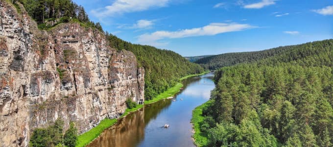
Ayskiye Pritesy are a line of sheer limestone cliffs on the left bank of the Ay River, one of the signature sights of a river often called the most beautiful in the Southern Urals. They lie in Satka District of Chelyabinsk Oblast, Russia, on the border with the Republic of Bashkortostan, 5.5 km from

Куприянов Виктор edited the description and the cover

Abkhazia, Khsyrkhu5.07.6k8

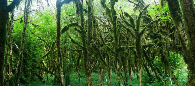
Самшитовый лес в Хашупсе — реликтовая роща самшита колхидского в долине реки Хашупсе, расположенная неподалёку от развалин Хашупсинской крепости и каньона реки Хашупсе в Гагрском районе Абхазии. Это одно из самых атмосферных и фотогеничных мест в Абхазии, которое туристы часто называют «сказочным ле

Куприянов Виктор edited the description

Russia, Samara2.9k2

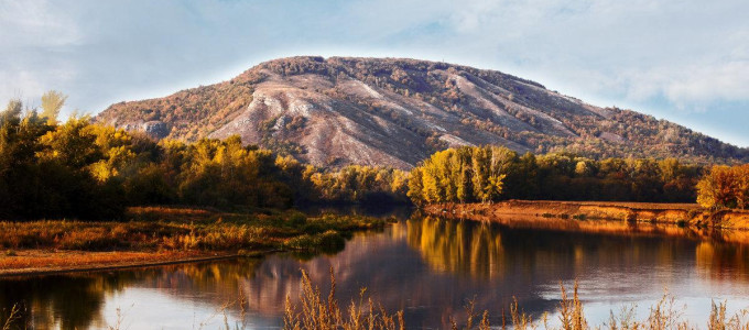
Bald Mountain is the peak of the Sokolyi Mountains closest to Samara, on the right bank of the Volga in the city's Krasnoglinsky District. Locals sometimes call it "Lyska": the name comes from its bare summit, devoid of vegetation, which contrasts with the dense forest on its slopes. Bald Mountain s

Куприянов Виктор edited the description and the cover

Russia, Ishimbayskiy rayon5.07.8k2

Куштау (башк. Ҡуштау — «двойная гора» или «птица-гора») — шихан в Ишимбайском районе Башкортостана, один из трёх сохранившихся древних рифовых массивов в окрестностях Стерлитамака. Расположен в 18 км к востоку от города и в 140 км к югу от Уфы. Включён в Список геологического наследия всемирного зна

Куприянов Виктор edited the description and the cover

Russia, gorodskoy okrug Ulyanovsk4.9k2

The Blue Lake in Ulyanovsk, although it got its name due to the special blue hue of the water, is actually a flooded quarry near the Seldinskoe highway. This reservoir, surrounded by picturesque nature, is known for its beauty and purity of water, which has long attracted both vacationers and freedi

Куприянов Виктор updated the cover

Russia, Ilekskiy rayon3.023k8

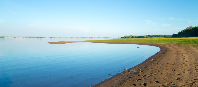
The Dimitrovskoye Reservoir, also known as Chernovskoye, lies in the Ileksky District of Orenburg Oblast, Russia, 8 km south of the village of Krasnokholm and 80 km from Orenburg. The reservoir was built in 1986 on the Chernaya River for fish farming and irrigation. It covers an area of about 13 squ

Куприянов Виктор edited the description

Russia, Belyayevskiy rayon5.08.9k8

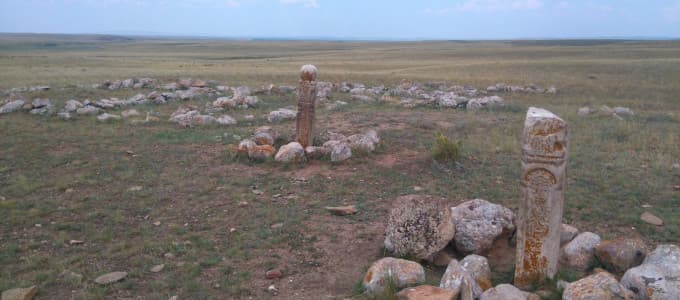
Древнее кладбище Кызаулер (Кайсацкие кулпытасы) — одно из самых загадочных и малоизученных историко-археологических мест Восточного Оренбуржья. Расположено на правобережье реки Тузлукколь в Беляевском районе Оренбургской области, примерно в 8 км к юго-западу от посёлка Бурлыкский, на территории, при

1 May

22 June 2024

Куприянов Виктор edited the description

Russia, Orenburg5.05.5k1

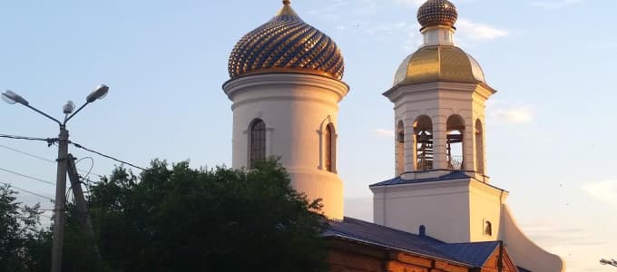
The Vvedensky Cathedral in Orenburg has a long history, dating back to its foundation in 1758 upon the petition of Governor Nepluyev. The cathedral was built on a high bank of the Ural River, making it visible from afar and accessible to local residents and visitors. The architectural appearance of

Куприянов Виктор added a place

Kalitsky Peak is a single pyramid-shaped rocky mountain, also known as a laccolith, located in the eastern Elbrus region. The mountain's height is 3,581 meters above sea level, and the base is at an altitude of about 3,350 meters, giving the summit a relative height of up to 230 meters above the sur

Куприянов Виктор added a place

Lake Birjaly, also known as Jikaulgenköz, is a unique natural site on the northern slopes of Elbrus. This lake is of glacial origin, which is one of the highest mountain lakes in the Caucasus and has many interesting characteristics and stories. Geographical location and characteristics Lake Bi

Куприянов Виктор added a place

Mount Sirkh, belonging to the Tashlysyrt (Black Mountain) ridge, is located on the western side of the Elbrus region. This place is not only natural, but also a historical and cultural treasure. Mount Sirkh is located on the border of a 12-kilometer caldera, divided by the Malka River into the weste

Куприянов Виктор added a place

A mysterious place in the Northern Elbrus region, shrouded in legends and secrets of the Second World War. This area remained closed to visitors for a long time: first by order of the NKVD, then by the KGB of the USSR. Only the stories of local residents lifted the veil of secrecy. The Legend o

Куприянов Виктор added a place

The Stone Mushrooms of Elbrus are a group of about twenty bizarrely shaped rock formations (hoodoos) on the northern slope of Mount Elbrus (5,642 m, the highest peak in Russia and Europe), in Kabardino-Balkaria, at an altitude of about 3,200 meters above sea level. It is one of the best-known natura

Куприянов Виктор added a place

Elbrus is a majestic stratovolcano in the Caucasus. It is the highest mountain in Russia and in Europe, if the border between Europe and Asia is drawn along the Main Caucasus Range or farther south. Included in the Seven Summits list of the highest peaks on each continent, Elbrus rises in the Latera