

Выход гидротехнического тоннеля реки Каменки
3.06.2 km7.6k1
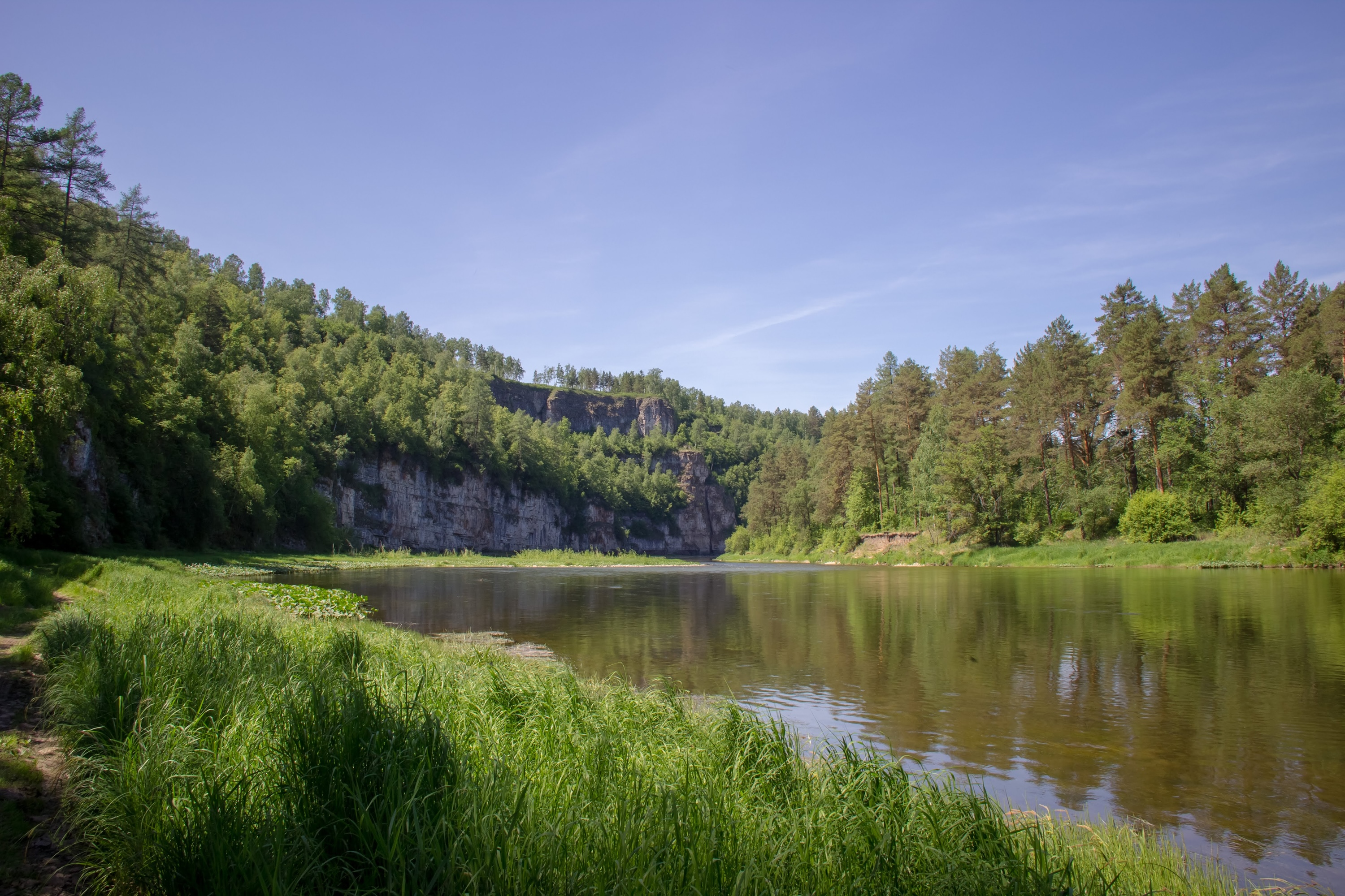
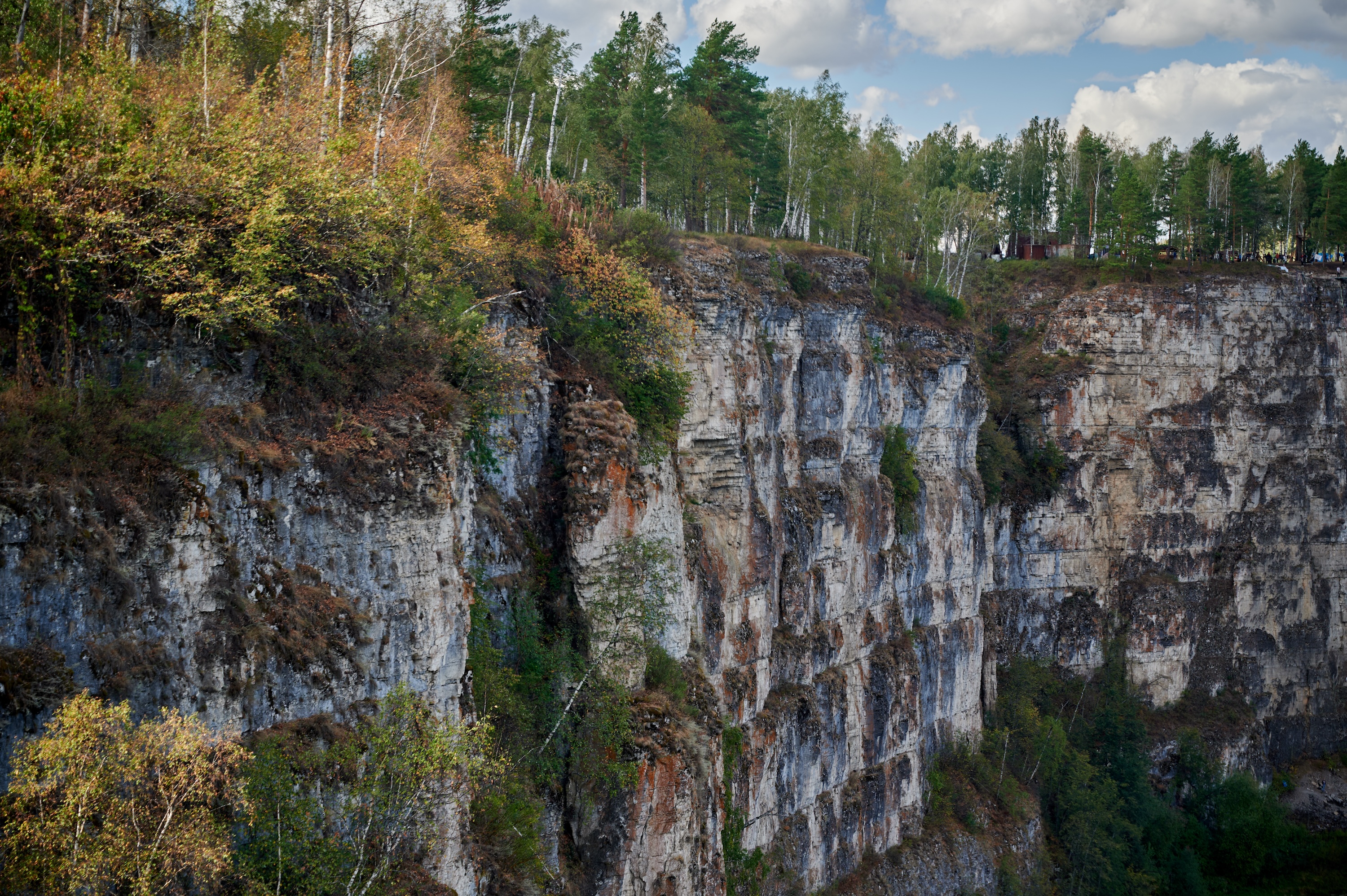
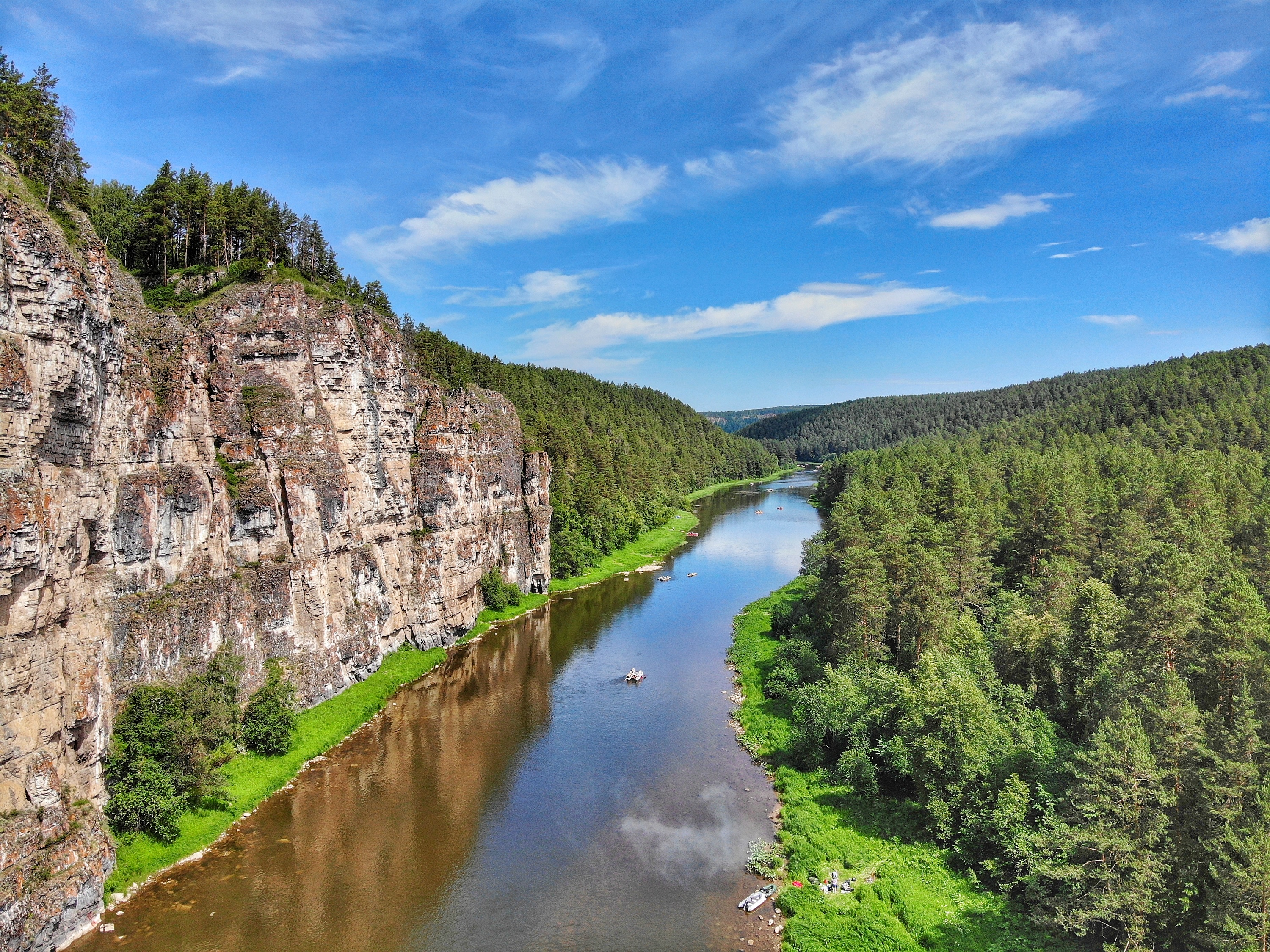


Ayskiye Pritesy are a line of sheer limestone cliffs on the left bank of the Ay River, one of the signature sights of a river often called the most beautiful in the Southern Urals. They lie in Satka District of Chelyabinsk Oblast, Russia, on the border with the Republic of Bashkortostan, 5.5 km from the village of Mezhevoy. The rock massif runs for about a kilometre and rises up to 100 metres; the coordinates of the Large Pritesy are 55.148485° N, 58.697660° E. The name "pritesy" comes from Russian words for "to hew" and "a bluff" and is the local Southern Ural term for rocks that drop vertically to a river. Bashkirs and Tatars call the place Sybar-Kaya, "the Motley Rock", a name that matches the wall's many-coloured limestone and lichen.
The Pritesy are split into two groups. The Large Pritesy are the main attraction: a kilometre-long sheer wall up to 100 metres high, curved like a horseshoe around a bend of the river. The rocks are almost entirely vertical, and the only way up is a gully (couloir) to the right of the Yunosheskiy Grotto, where boards with cross-bars form a makeshift ladder; the climb calls for care, as loose stones lie near the boards.
The Small Pritesy are 3 km upstream (or 1.5 km on foot across the fields) and reach 70-80 metres; a footpath makes them easier to reach. Both groups give sweeping views over forests, fields and the valley of the "Moon River" - Ay translates from Bashkir as "moon".
Several caves run through the Large Pritesy. The best known is the Yunosheskiy Grotto (formerly Karatash, "Black Stone"), whose entrance shows from the water as a dark opening about 55 metres up; it can only be reached by rappelling 26 metres down from the top, and was first explored in 1969 - locals called it the "Black Hole". Closer to the top, in the ascent couloir, are the First and Second Couloir Caves.
The top of the Large Pritesy has a viewing platform and a rest area. In summer a café operates there, and visitors can rent a tent spot or a barbecue area with a gazebo. The main draw is a large swing over the drop: visitors are strapped in with harnesses and safety cables and swung out over the 100-metre precipice. Thrill-seekers can also try rope jumping off the Large Pritesy, ride a zip line over the cliff edge, or cross the suspension bridge over the river.
Below the Small Pritesy, on the left bank, is another sight: the Dry Waterfalls, the bed of a long-dried ancient river where limestone steps 15-50 cm high form what looks like a giant staircase. In spring and after heavy rain a real waterfall forms here, 16.5 metres high; in dry weather it is simply a scenic set of "steps". Coordinates: 55.1453° N, 58.707217° E.
By car: take the M5 highway (Chelyabinsk-Ufa) to the town of Satka, then head north through town towards Mezhevoy, via Suleya and Paramonovo; before the village of Novaya Pristan, turn left towards Blinovka and continue to the Alekseyevskaya farm. Almost the whole route is paved, with just the last kilometre on a dirt road. Distance from Chelyabinsk is 220 km (3-4 hours), from Yekaterinburg 340 km, and from Zlatoust 85 km.
By raft: the most popular way to see the Pritesy is to raft down the Ay River on a catamaran or raft. The Ay is the largest tributary of the Ufa River, 549 km long, and the route passes dozens of rocks and caves; tour clubs in Chelyabinsk, Yekaterinburg and Ufa organise rafting trips past the Pritesy. May to September is the best time to visit.


No reviews yet. The first one helps the next travellers.