

Капова пещера (Шульган-Таш)
5.04.9 km4.5k8
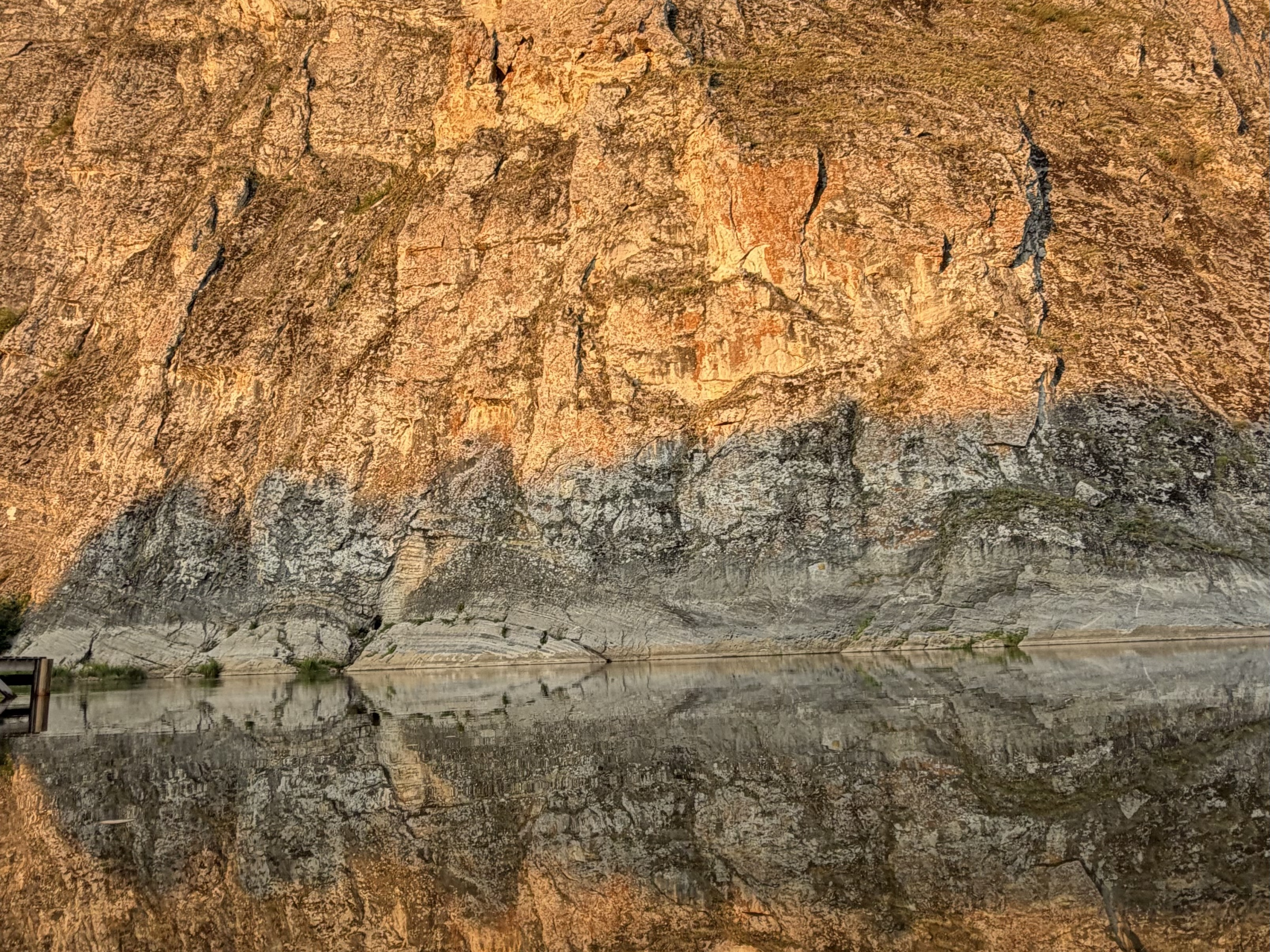


Antonova Rock is a majestic sheer cliff on the left bank of the Belaya River (Agidel), the largest river in Bashkortostan at about 1,430 km long, within the Bashkiria National Park, 2 km from the village of Kutanovo in Burzyansky District, Russia. It is one of the most scenic points on the Belaya River rafting route and a popular getaway for tourists and locals alike. A campsite of the same name is set up at the foot of the cliff.
Antonova Rock is a long limestone massif rising several dozen metres above the river. Seen from the water, the cliff looks like a monumental wall cut through with niches and grottoes. About 50 metres above river level, inside the rock, is Antonievskaya Cave — according to legend, home to the hermit who gave the rock its name.
There are two versions of how the name came about, both unconfirmed folk tales. In one, a hermit named Anton fled Orenburg Province in the 17th or 18th century and settled in the cave 50 metres up, choosing a solitary life among the cliffs. In the other, a White general named Anton hid in the rock's caves during the Russian Civil War and, according to legend, buried a treasure somewhere inside the rock. It has never been found.
A day-use campsite run by Bashkiria National Park is set up at the foot of the cliff. Three types of sites are available: for 6 people, with a gazebo and a fire pit; for 8 people, with a gazebo, tent space and a fire pit; and for 10 people, with a gazebo, tent space and a fire pit. The campsite lies along popular rafting routes, so most visitors arrive by catamaran or kayak.
Antonova Rock is part of several classic Belaya River rafting routes. The short route, from Starosubkhangulovo (Burzyan) to Kutanovo, takes 3–4 days and passes Kapova Cave and Antonova Rock. The long route, from the village of Kaga or Baynazarovo to the Yumaguzinskoye Reservoir, covers up to 115 km of waterway and also takes in Kaban-Tash Rock and the Three Chiefs Rock, further downstream from Kutanovo. Both routes are easy and suit families with children aged 14 and up. The best season is June to September.
Downstream from Antonova Rock, on the way to the Yumaguzinskoye Reservoir, stands another well-known landmark, the Three Chiefs Rock. One of its rock faces shows outlines resembling the faces of three historical figures. The rock can be seen from the water while rafting.
By car: from Ufa via Sterlitamak and Kugarchinsky District to Starosubkhangulovo, then on to Kutanovo — about 400 km in total. From Beloretsk via Starosubkhangulovo. From Meleuz via Nugush and Irgizly. The stretch from Kiekbayevo to Kutanovo is about 20 km of unpaved road, so a car with high clearance is needed. Visiting the Bashkiria National Park requires a permit.


No reviews yet. The first one helps the next travellers.