

Valley of Fairy Tales (Zlatoust)
0.8 km1.4k3
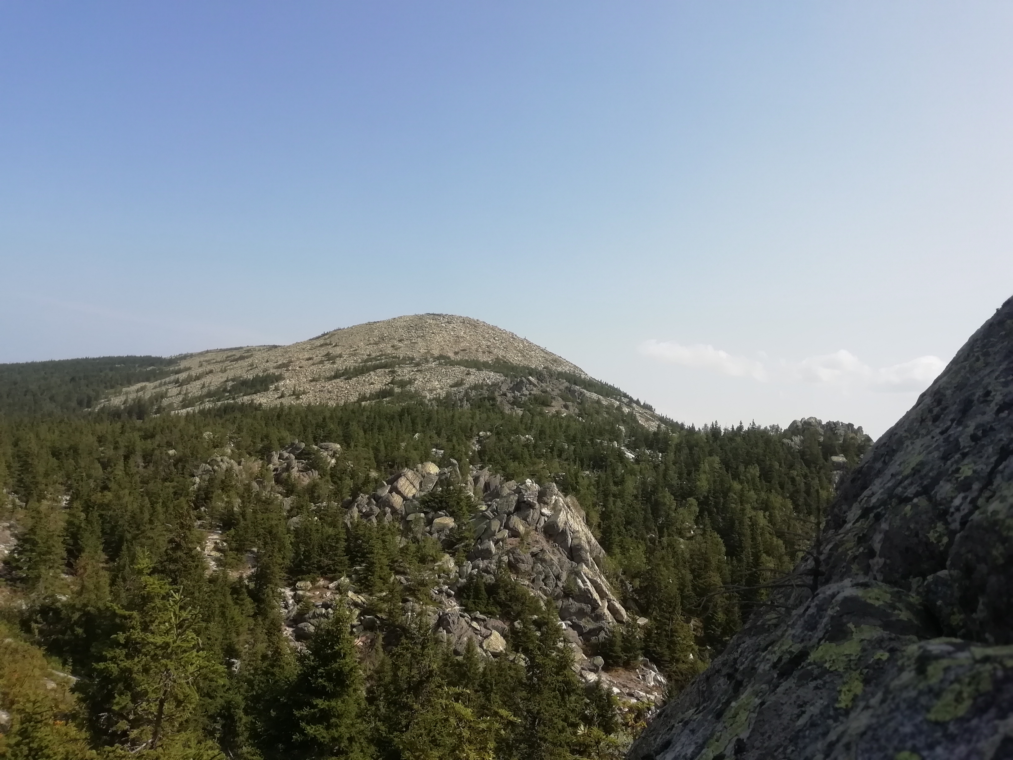
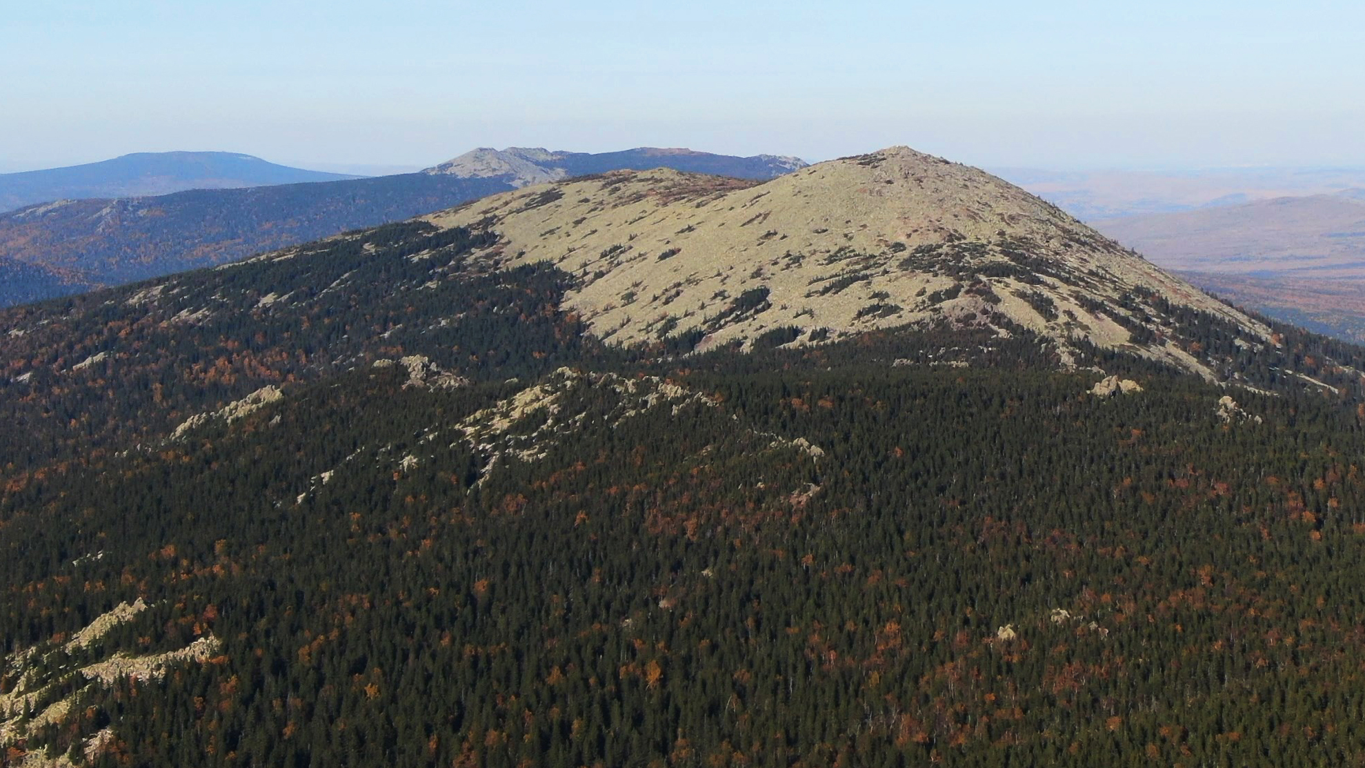

Kruglitsa is a 1,178-metre mountain, the highest point of the Bolshoy Taganay ridge and of the whole Taganay massif. It stands in Taganay National Park in the Zlatoust urban district of Chelyabinsk Oblast, about 16 kilometres north-northeast of the town of Zlatoust.
The mountain is named after its rounded summit. Because it resembles a Turkic headdress, it is sometimes called the "Bashkir Hat". To the south, Kruglitsa adjoins the Otkliknoy Ridge across a saddle; to the north, between Kruglitsa and Dalny Taganay, lies Bolshoy Log, a broad marshy valley between the mountains.
Kruglitsa is made of white, pink and cherry-red quartzite, in places with inclusions of aventurine. Its slopes are covered with scree and boulder fields (kurums), juniper, stunted spruce and patches of mountain tundra.
The summit gives a panoramic view over the whole of Taganay, with the Otkliknoy Ridge and the neighbouring ridges in sight. The national park is also home to the Big Stone River, one of the best-known boulder streams in the Urals, about 6 kilometres long.
The smooth shape of the summit produces an unusual effect: on clear sunny days the warm air shimmers above the rocks, and the mountain seems to sway, as if about to lift off its base.
The climb usually starts from the Taganay tourist shelter at the foot of the mountain. The trail to the top is about 3 kilometres long and crosses rocky ground, scree and boulder fields, so sturdy footwear and care in wet weather are needed.
Visitors to Taganay National Park must register and obtain a permit, either on the park's official website or at its visitor centres (Central Estate, Semibratka, Chyornaya Skala). Leaving the marked trails in strictly protected zones, collecting minerals and rocks, and leaving litter are prohibited.
No votes yet


No reviews yet. The first one helps the next travellers.