

Black Rock
5.06.2 km6.4k2
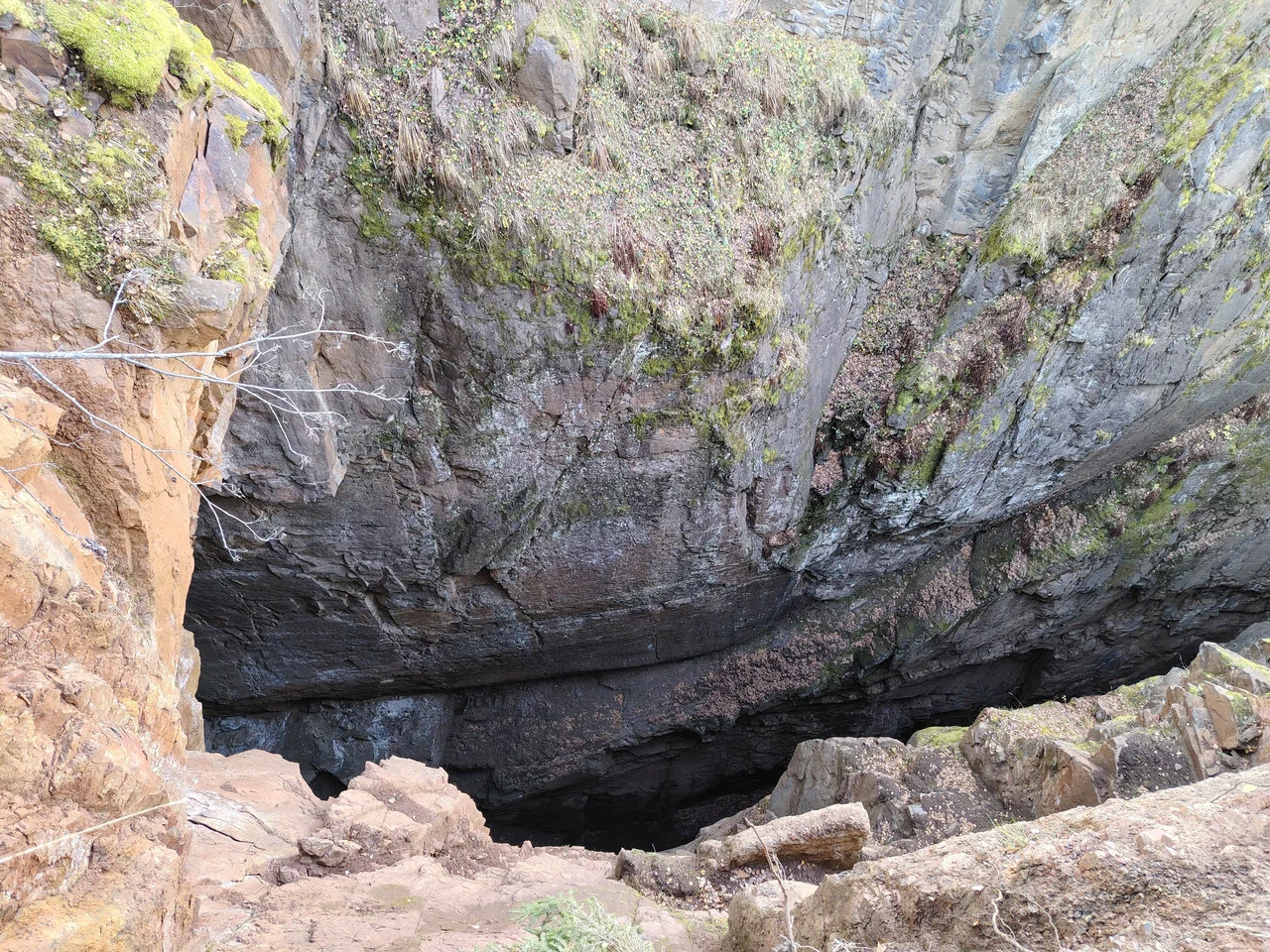
The Magnitsky Rifts (Magnitskie razlomy), also called the Magnitsky Sinkholes, are huge cracks and cliffs on a mountain slope in the Kusa municipal district of Chelyabinsk Oblast, east of the village of Magnitka, next to Staraya Magnitka. Part of the rifts lies within Taganay National Park, which is why the place is sometimes called the far side of Taganay. The scale is so large that the chasms are visible even in satellite imagery.
Unlike most rock formations of the Southern Urals, the Magnitsky Rifts are not a natural feature but a trace of mining. Ore has been extracted here, in an area known as the Kusa site, since the 18th century: in 1754 the Mosolov brothers, who owned local ironworks, bought the land from Bashkirs. Later a titanomagnetite mine operated here. After the mine closed, the underground workings and mining chambers collapsed, and deep cracks and chasms formed on the surface. According to one version, the collapse was accelerated by explosions in the mine adits in the 1970s, which finally destroyed the worked-out cavities.
Today the Magnitsky Rifts are a popular stop for tourists heading to Taganay. The cracks run deep, and their bottom is often invisible even from the edge. Because of the scale and the grim views, the place is often called mysterious. The edges are made of loose rock that easily crumbles under a person's weight, so approaching the edge of the cracks is dangerous: falling debris or a collapsing rim can cause injury.
The rifts can be reached by car along a dirt road climbing the mountain slope from the village of Magnitka. Nearby is the Chyornaya Skala (Black Rock) viewpoint, and tourists often combine routes to both places in one trip around Taganay.
Move carefully around the rifts and stay away from the edge of the cracks: the loose rock cannot bear a person's weight. There is no dedicated infrastructure here — no marked trails, fences or signs — so orientation relies on general route descriptions starting from Magnitka.
No votes yet


No reviews yet. The first one helps the next travellers.