

Dalny Taganay
5.6k5
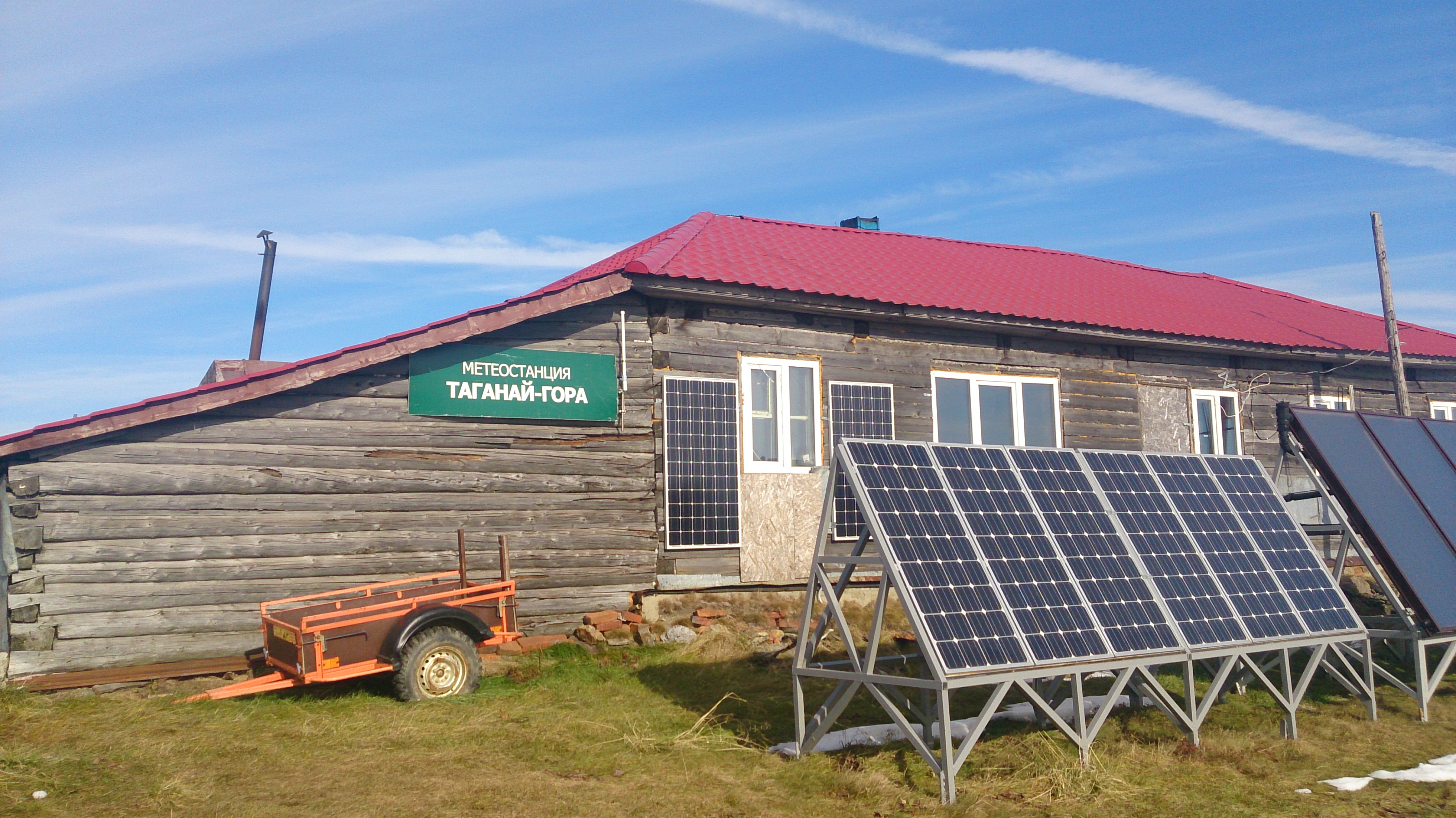

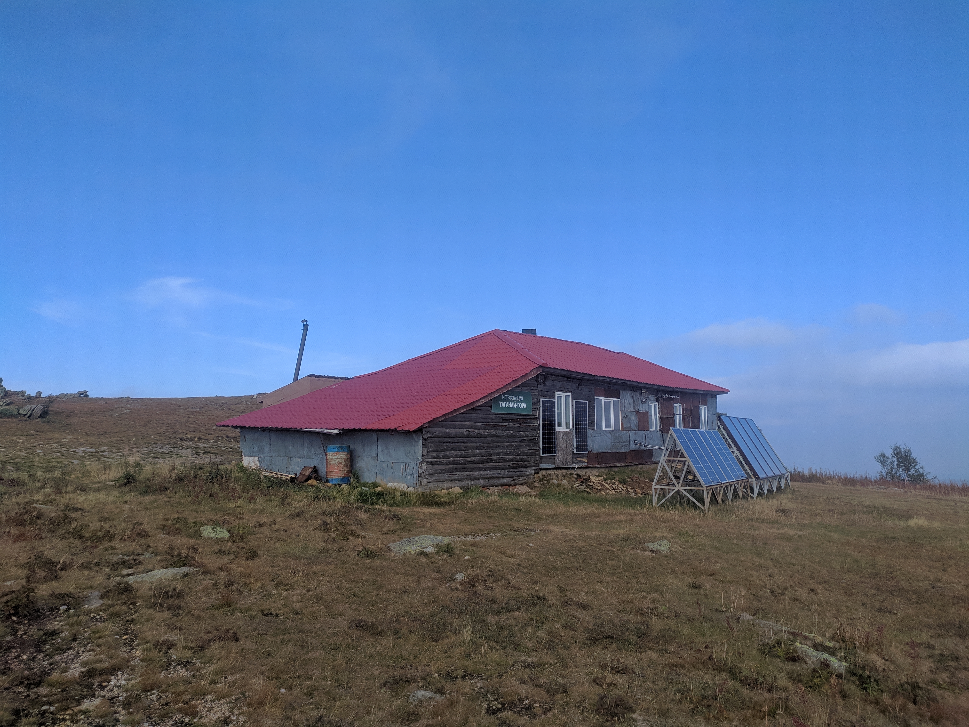
Taganay-Gora is a former weather station on the summit of Mount Dalny Taganay in Taganay National Park, Zlatoust urban district, Chelyabinsk Oblast, Russia. It stands at about 1,108–1,112 m, 25 km from the Pushkinsky settlement on the edge of Zlatoust, and was considered the highest weather station in the Urals. Today its building is the park's most remote tourist shelter.
A first station, Taganay-Niz, opened at the foot of Dalny Taganay at 600 m on 1 August 1930. Two years later, on 20 August 1932, observations began on the summit itself, and the Taganay-Gora station was born. In December 1932 it was named after the Second International Polar Year.
Observers measured air temperature, precipitation, wind speed, air pressure and cloud cover, and radioed the data to Sverdlovsk, to the Ural hydrometeorological service, where it was used for weather forecasts. The summit is known for its winds: gusts reach 30–40 m/s, and its average annual wind speed of 10.3 m/s was, according to long-term records, the highest of 69 weather stations of the former USSR. The mountain's other name, Itsyl, is translated from Bashkir as "eternal wind".
In 1989 the station was removed from the state weather service and was funded by the city budget. Observations finally stopped in January 2005. Some of the station's old instruments, a barograph, a hydrograph and a thermograph, are kept by the national park.
The building houses a field station of the dendrology laboratory of the Institute of Plant and Animal Ecology, Ural Branch of the Russian Academy of Sciences (Yekaterinburg), which monitors weather and climate change. It is also a tourist shelter sleeping up to 16 people.
The shelter sits on a mountain plateau with fragile alpine tundra, so visitors are asked to keep to the marked trails. On a clear day the summit looks out over the surrounding towns and the rocks of the ridge: the Three Brothers outcrops, the Cap ledge and the Camel ridge. The Three Brothers are three pillar-like rocks 30–40 m tall in the Bolshoy Log valley between Kruglitsa and Dalny Taganay, at 750–780 m.
Marked national park trails lead to the station from the park's Central Estate. The Lower Trail, about 25 km, follows mostly the old Kialim road with the remains of log causeways; the Upper Trail is about 3 km longer. In winter the track is laid along the same trails, so the routes partly overlap.
On the Lower Trail, 9 km from the start, is the Pisany Kamen campsite, then the Taganay shelter, built before the park existed, a good place for a long rest. Another 8 km brings you to the Kialim cordon, a former charcoal burners' settlement. From there a long climb of about 5 km leads up Dalny Taganay to the station building on the summit.
The full loop from the Central Estate to the station and back is about 52 km and takes 3–4 days.
No votes yet


No reviews yet. The first one helps the next travellers.