

Ice fountain Zyuratkul
11.8 km12.7k5

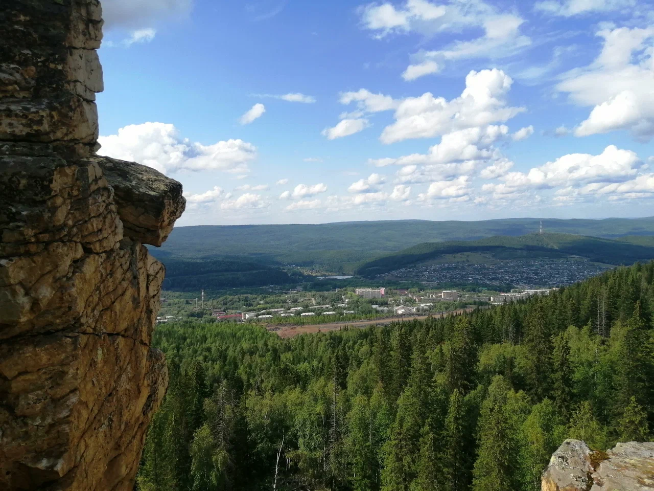
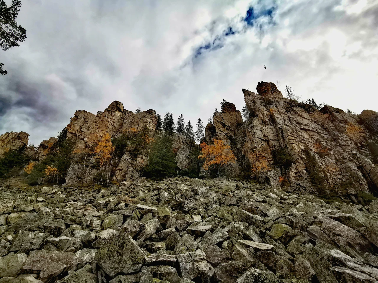
Bulandikha (Буландиха) is a rocky ridge in Chelyabinsk Oblast, on the eastern edge of the town of Bakal in the Satka municipal district. The ridge stretches for about 5 km between the settlements of Rudnichny, Irkuskan and Yelnichny, and its highest point reaches 903 m. The ridge lies only about 500 meters from the outskirts of Bakal, so the mountain is clearly visible right from the town.
The slopes of Bulandikha are covered with coniferous forest and cut by terraces — traces of old mining works. The ridge's summit is crowned with quartzite rock outcrops and stretches of scree (kurumnik). At the northwestern end of the ridge stands a distinctive rock pillar that locals call the "Bear's Tooth" (Медвежий зуб). The rock itself is made up of brown iron ore and siderite — these ores are the very reason the area became an industrial mining district. From the summit there is a view over the town of Bakal, the surrounding mountains and the working mines.
On the eastern slope of the ridge is a small quarry called "Balanda", and not far from Bulandikha lies another former quarry, the Gaevsky pit — a flooded, heart-shaped pond with emerald-green water that tourists often visit together with the mountain.
The first major iron-ore deposit in the Bakal area was discovered in 1817, and from then on the slopes of Bulandikha gradually turned into a network of mines and quarries. In 1957 the Novo-Bakalsky mine began operating on the southwestern slope of the ridge — it became the last of the local mines and remains the only one still active today. Enormous craters formed where the deposits were worked out, and today they sit alongside the forest and the rock outcrops.
According to local historian M. I. Albrut, the name "Bulandikha" comes from a Turkic word meaning "moose" or "elk" — presumably because elk once lived in these parts.
From Chelyabinsk, Yekaterinburg or Ufa, take the M5 highway, then after passing Miass, Zlatoust and Satka turn toward Bakal. The ridge begins literally 500 meters from the edge of town, so it can be reached on foot. Convenient starting points are the parking area at the square near the intersection of Lenina and Krupskoy streets in Bakal, the settlement of Rudnichny (about 1 km from the foot of the mountain), or the area of the former Sideritovaya mine on the southern side of the ridge.
No votes yet


No reviews yet. The first one helps the next travellers.