

Yanov Station
1.2 km3.2k5
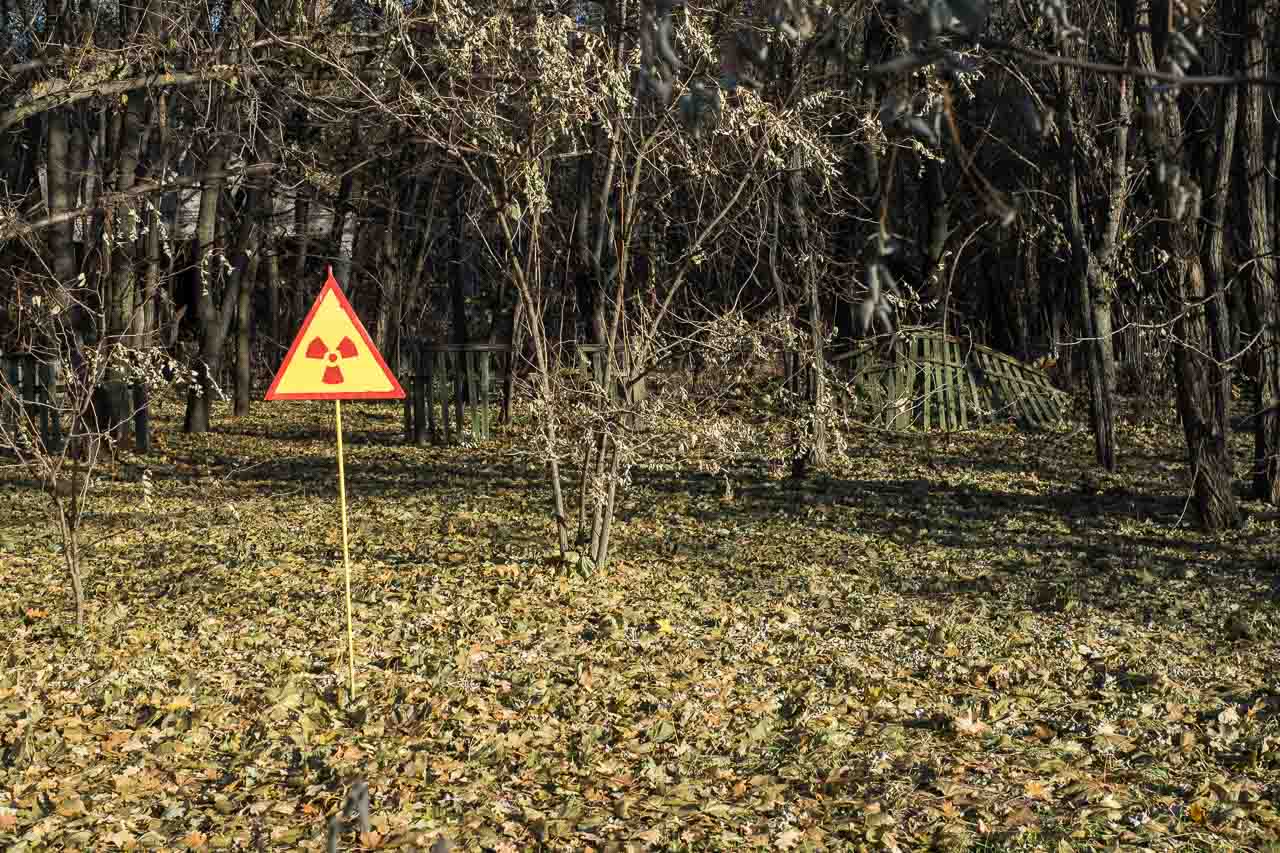
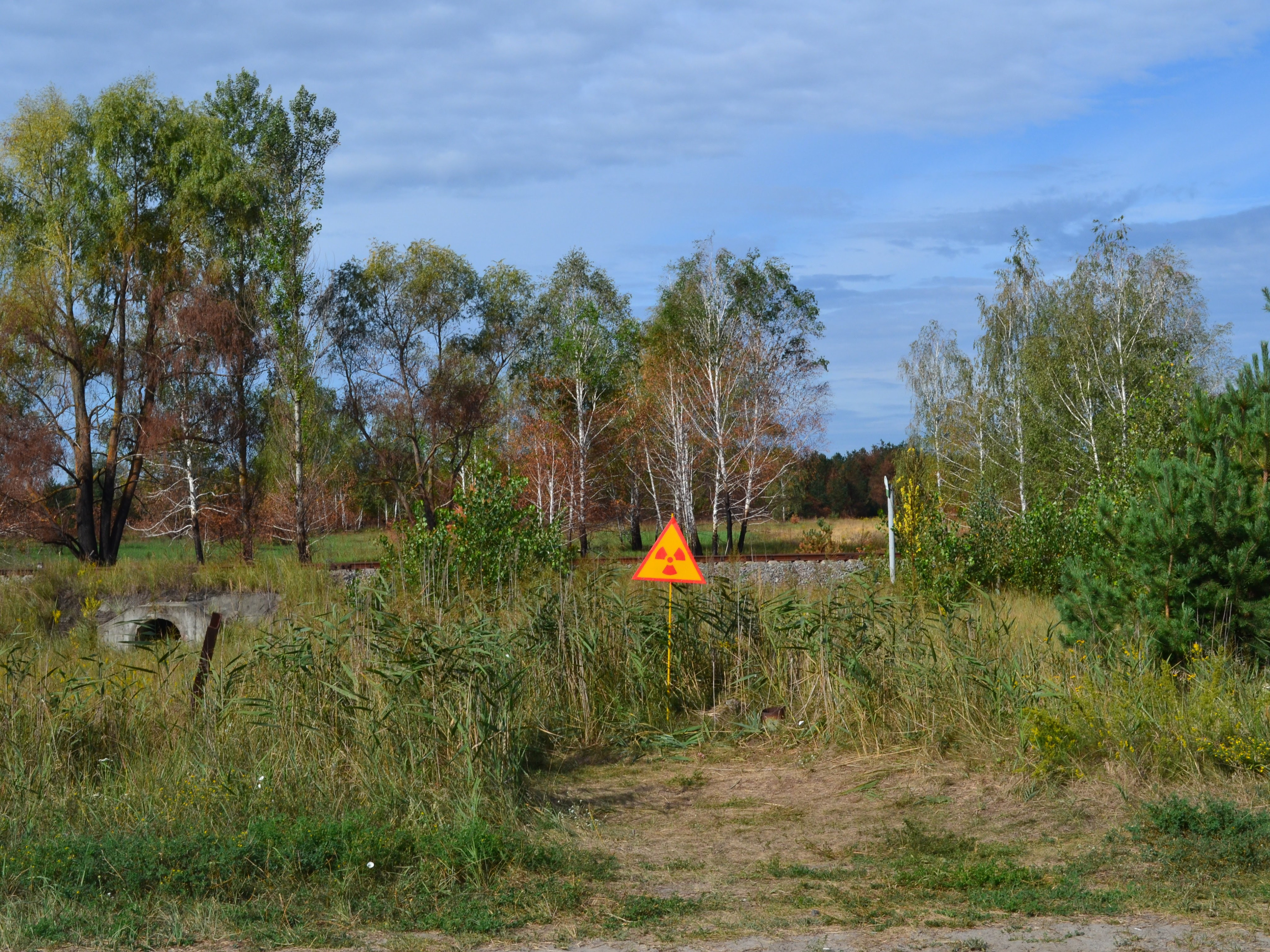
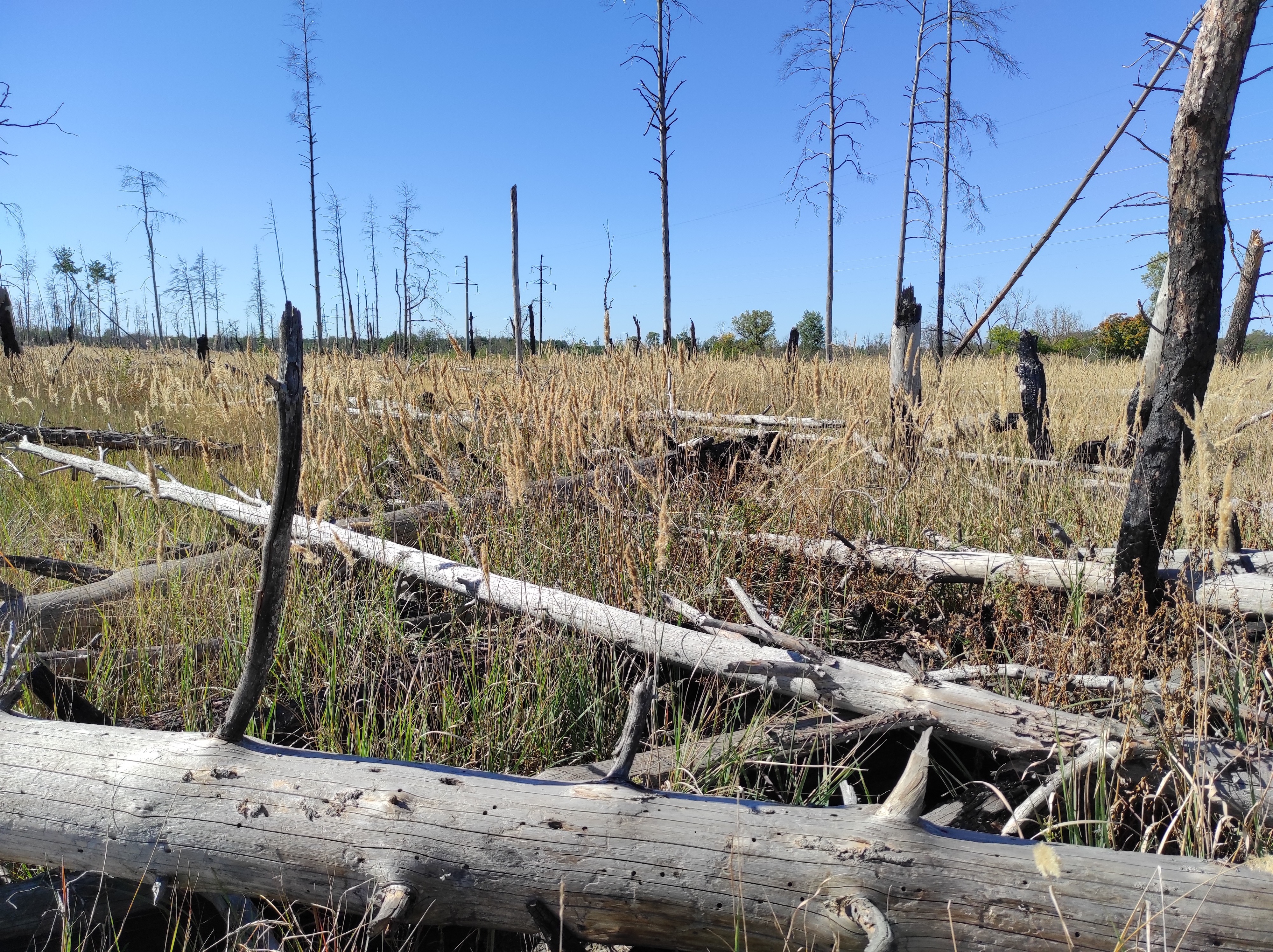

The Red Forest (Ukrainian: Rudyi lis) is a roughly 10 km² stretch of pine forest right next to the Chernobyl Nuclear Power Plant, inside the exclusion zone, and the most radioactive forest on the planet. It got its name after the accident of 26 April 1986: the pines died from an enormous radiation dose and turned a distinctive reddish-brown colour within minutes, becoming one of the most recognisable symbols of the Chernobyl disaster. Coordinates: 51.386° N, 30.064° E.
After the explosion of the power plant's fourth reactor, the radioactive cloud covered the nearest pine forest. The conifers received doses of 80 to 100 grays — a lethal dose, thousands of times above the level dangerous to humans. The needles died first: within about 30 minutes the pines lost their green colour and turned bright red. Deciduous trees (birches, aspens) proved hardier — they shed their contaminated leaves and partly survived.
Scientists identify four zones by the degree of radiation damage. The first, closest to the power plant, is the zone of total loss of conifers: every pine died, and the forest looked as if it had burned down. The second is the zone of severe damage, where some trees died and the rest were badly affected. The third is the zone of moderate damage, where trees survived but show growth abnormalities. The fourth is the zone of light damage, where the forest looks almost unchanged on the outside, but radioactive particles have settled in the soil and the needles.
In 1986-1987, liquidators felled and buried the most contaminated trees of the Red Forest in trenches, covering them with sand and soil, and planted young pines on top: according to the English Wikipedia article on the Red Forest, the trenches of dead trees were covered with a thick layer of sand and sown with saplings, so almost all the trees visible in the forest today grew up after the disaster. Heavy machinery was used for the clearance, including excavators with claws, one of which — the so-called "claw of death" — still lies in the exclusion zone today. It is so radioactive that approaching it is dangerous.
Today a young forest grows where the pines died: some trees were planted during the land reclamation, others grew on their own — nature is partly recovering. The radiation level in the soil, however, remains extremely high: in 2005 it reached 10 mSv/h at some points in the Red Forest, and more than 90% of the site's total radioactivity is concentrated in the soil rather than in the plants (English Wikipedia, Red Forest article). The filtering trees have slowed the area's decontamination by decades. Scientists note abnormalities in the plants: unusual needle shapes, dwarfism, and gigantism in individual shoots.
In April 2020, a wildfire raged in the exclusion zone and came close to the borders of the Red Forest. A fire in a radioactive forest is dangerous because the smoke lifts radioactive dust particles from the soil into the air.
The Red Forest lies 1-2 km west of the Chernobyl Nuclear Power Plant, along the Chernobyl-Pripyat road. It is part of the exclusion zone, access to which is controlled by the State Agency of Ukraine on Exclusion Zone Management. Free, unsupervised visits are not possible. The remains of the Red Forest can only be seen as part of an organised tour of the exclusion zone (provided such tours have resumed after the fighting).


No reviews yet. The first one helps the next travellers.