greenexp
2 months ago

The Kuma Reservoir is an artificial reservoir formed on the Kovda, Sofyanga and Kundozerka rivers in the Loukhsky district in the north of the Republic of Karelia, Russia. Its height above sea level ranges from 109 to 109.5 meters. The reservoir was created in 1960-1961 during the construction of the Kumskaya hydroelectric power station dam. It includes several lakes, such as Topozero, Pyaozero, Kundozero, as well as the Sofyanga and Kovda rivers.
In 1992, on the northwestern shore of the reservoir, the Paanajärvi National Park was established by decree of the Russian Government.
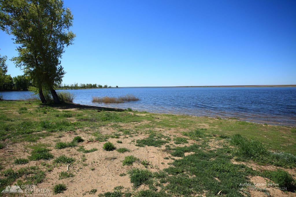
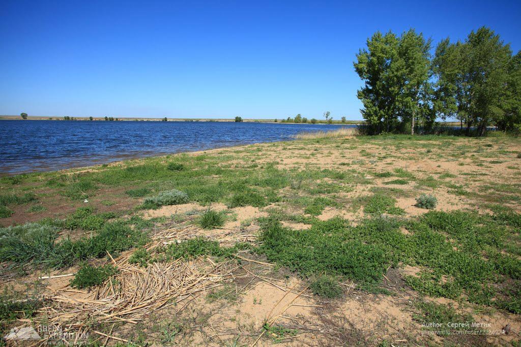
The reservoir is located in steppe areas, often with forest belts along the perimeter. The coastline of the reservoir is indented and has three large multidirectional bays, extending to the southwest, southeast and north. The total length of the reservoir is about 11 kilometers, and its width is on average 0.5-0.7 kilometers. The area of the reservoir is 12.7 square kilometers, and its volume is 48 million cubic meters. The Kumskoye Reservoir is a popular summer destination due to its sandy beaches and good fishing opportunities.
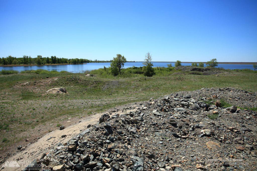
The reservoir is home to many species of fish, such as pike, perch, bream, crucian carp and others. Below the dam in the valley of the Kumak River you can find interesting geological sections, some of which are natural monuments.
The Kum Reservoir is also known for its historical artifacts, such as the Kumak gold mining district, which has been actively developed since the beginning of the 20th century. On the territory of the village of Kumak you can see large waste heaps left over from the times of gold mining next to the gold-bearing mine.
To travel to the Kumsky reservoir, you should go from Orsk to the city of Yasny, and then about 25 kilometers northeast to the village of Kumak. The road will lead to the reservoir dam.