

Bashkir Tamgas (Tashly)
10.4 km2.2k2
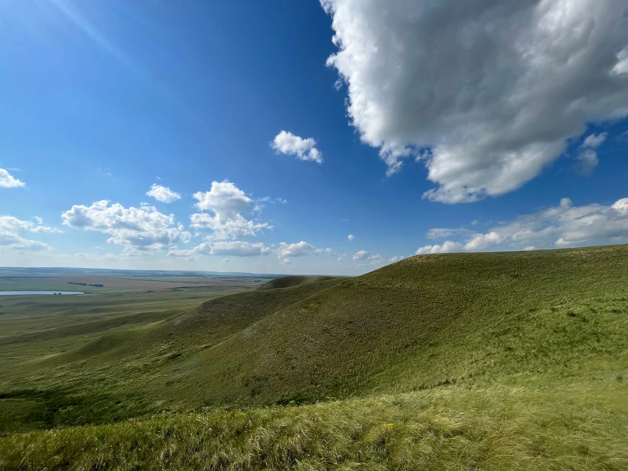
Urtatau Hill lies in the Alsheyevsky district of the Republic of Bashkortostan, not far from the town of Davlekanovo. The hill rises to 324 metres above sea level, with a relative height of about 143 metres from base to summit.
The name goes back to the Bashkir words "urta" ("middle") and "tau" ("mountain"), meaning "the middle mountain." The name likely points to the hill's position among other hills and ridges in this part of Bashkortostan. "Urtatau" is not a unique toponym in the republic — several hills in different districts carry the same name, and the one described here, in the Alsheyevsky district, is one of them.
The slopes and summit of Urtatau are made up of sandstone, which is clearly visible on the surface and gives the area its distinctive look. Sandstone outcrops of this kind are common in the western foothills of Bashkortostan, often forming small rocky ridges and standalone rock formations.
The surrounding area belongs to the flat lowlands of the Alsheyevsky and neighbouring Davlekanovsky districts, where large hills are rare, so Urtatau stands out against the surrounding landscape from a distance. With a relative height of about 143 metres, the slopes are fairly steep, and the summit offers a wide view over the surrounding fields and groves.
The hill can be reached by car from the road leading to Davlekanovo: a local road runs almost up to the foot of Urtatau, leaving only a short walk to the top.
The access road is unpaved, so it can be hard going after rain or during the spring thaw — it is best to plan the trip for dry weather. There is no tourist infrastructure at the hill: no marked trails, parking areas, or signposts, so it is worth checking the map in advance.
The same trip is a good chance to visit Lake Aslykul, about 20 km away, and the Bashkir Tamgi archaeological site near the village of Tashly, about 10 km from the hill.
No votes yet


No reviews yet. The first one helps the next travellers.