
Ruins of a Japanese Temple in Lesogorskoye
173.4 km2
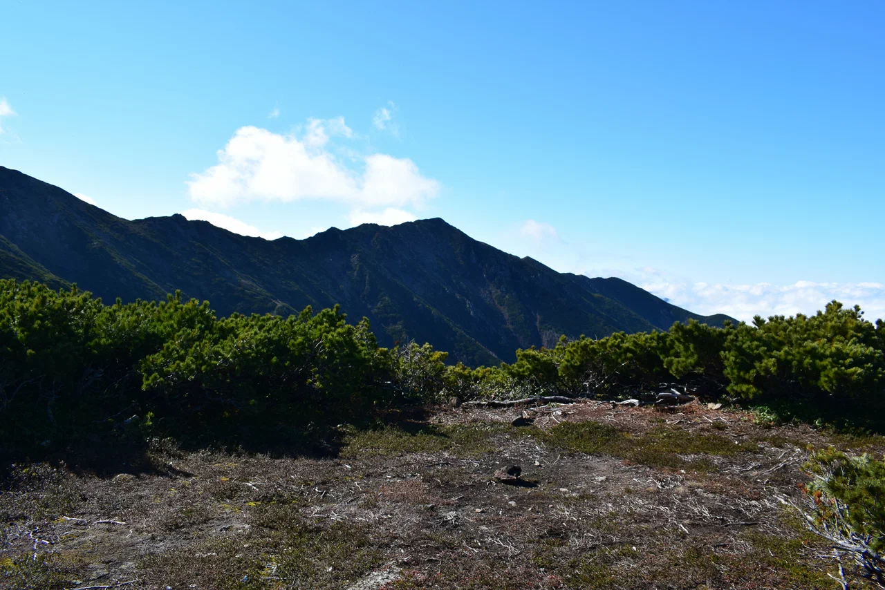
Mount Lopatin is the highest point of Sakhalin Island, rising to 1,609 meters. The peak lies in Sakhalin Oblast, in the Tymovsky municipal district, at the junction of the Nabilsky, Stlanikovy and Lunsky ranges of the East Sakhalin Mountains. It is here that the island's three mountain ranges meet, which is why the peak is considered the main high point and a kind of hub of the whole East Sakhalin mountain system. From the summit, the Sea of Okhotsk is visible to the east, while to the southwest the view opens onto the Tym-Poronaysk valley and the spurs of the West Sakhalin Mountains.
The mountain was named in 1910 by the Russian Geographical Society in memory of the Russian geologist and geographer Innokenty Lopatin, who had studied Sakhalin back in the 19th century and made a major contribution to the exploration of the island. Before that, the then-unnamed peak had no official status as the island's highest point. In 2017, more than a hundred years after it was named, a memorial plaque dedicated to Lopatin was installed on the summit.
According to stories, a sculpture of Lenin still stands on the summit, one of several markers left by visitors over decades of ascents. A triangulation point, a memorial plaque and other traces of human presence can also be found there, left by hikers who reach the island's highest point.
The slopes of Mount Lopatin are covered with taiga forest, which gives way higher up to dense thickets of dwarf Siberian pine (kedrovy stlanik), a low creeping conifer typical of Sakhalin's mountain slopes. The summit itself is nearly bare, with almost no vegetation apart from scattered lingonberry bushes. Nival patches and snowfields persist on the slopes and near the summit, not fully melting even in summer.
Two main hiking routes lead to Mount Lopatin on Sakhalin: one from the village of Molodezhnoye in the Tymovsky district, and another from the road to the Chamginsky Pass. Along the way, hikers have to cross seven bridges and six rivers, so the route demands good physical fitness and planning ahead for the river crossings. The round trip from the base camp to the summit and back is about 30 kilometers.
August is considered the best month for climbing Mount Lopatin, when the route is most passable and the rivers are calmer. In May the slopes and the summit are still covered in snow, and the snow-capped mountain can be seen from afar, though the ascent is much harder and not accessible to everyone at that time of year.
No votes yet


No reviews yet. The first one helps the next travellers.