
Cape Trezubets
68.3 km2
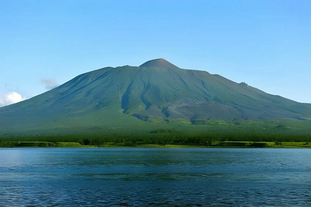
Tyatya is an active volcano on the northeastern part of Kunashir Island in the Sakhalin Region, within the Yuzhno-Kurilsky municipal district. It is the highest point of the island and its main natural landmark: a regular cone rising above the Ekaterina Strait, visible from the sea for dozens of kilometers. The volcano lies within the Kurilsky Nature Reserve.
The volcano's height is 1,819 meters. Tyatya is a somma-vesuvius type volcano: it consists of an ancient caldera 15-18 kilometers in diameter, inside which a younger central cone rises to a height of 337 meters. The volcano is built of basaltic and andesitic lavas. Several smaller explosive craters dot its slopes, one of them named Otvazhny (Brave).
Historical eruptions of Tyatya are recorded in 1812 and 1973. After the 1973 eruption the nearby village of Tyatino, which stood at the foot of the volcano, was evacuated and abolished. Old maps marked the volcano as Peak Antonia. Today the central crater still shows weak fumarolic activity — venting volcanic gases that confirm the volcano remains active.
In the language of the Ainu, the indigenous people of the Kuril Islands, Tyatya was called Chacha-Napuri, meaning "Father Mountain." The name reflects the volcano's role as the island's main peak and a natural landmark for its former inhabitants.
The northern part of Kunashir, where the volcano stands, has a high density of brown bears — tourists and guides refer to the area as "bear country." This is worth keeping in mind when planning a hike to the summit.
Most visitors start their route to Tyatya from the settlement of Yuzhno-Kurilsk. Since the mountain lies within the Kurilsky Nature Reserve, climbers must obtain permission from the reserve's administration in advance. The round trip up and down takes about 2-3 days. There are almost no sources of fresh water along the route — water can only be found in a few pits in the barrancos (erosion gullies) on the slope, so hikers need to carry their own supply.
No votes yet


No reviews yet. The first one helps the next travellers.