Julia Bremen
2 years ago

The Aituar steppe, covering an area of 6,753 hectares, is located on the left bank of the Ural River near the village of Aituarka, Kuvandyk district, on the border of Russia with Kazakhstan (Aktobe region). In the past, there were two Kazakh villages on this territory, and the meadow-steppe tracts were used for haymaking. In 1971, the Aituar steppe became part of the Zagorny state farm, which was engaged in goat breeding and haymaking until 1985, after which economic activity was limited. Since 1988, all types of economic activity on the territory of the steppe have been suspended, with the exception of the occasional grazing of horses at the horse farm in the village of Aituarka for the production of kumis.
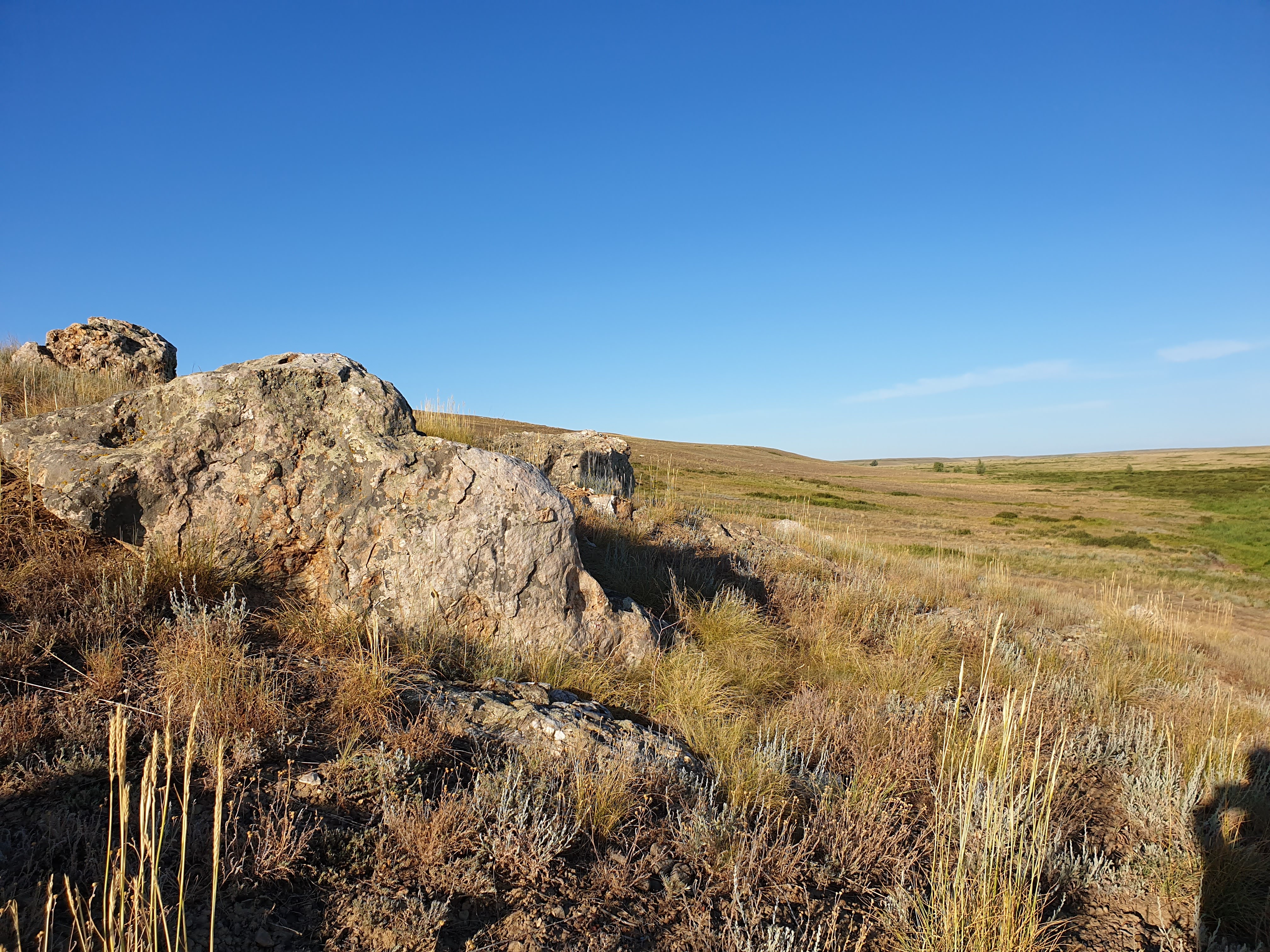
The Aituar steppe is the most mountainous section of the reserve and part of the Ural folded country. It is located between the Alimbet and Aituarka rivers on the left bank of the Ural River. Geomorphologically, the area is limited from the east by the Central Ural uplift and from the west by the Western Ural external folding zone. The relief is dominated by morphosculptures, between which stretch beams and their slopes, ridges and mounds with remnants of crystalline rocks.
The soils on the site are formed under the influence of vertical differentiation of the relief and the diverse composition of soil-forming rocks. The processes of solonetzation and salt accumulation are of particular importance. In the tops of the ridges and upper parts of the slopes, southern chernozems, incompletely developed, with outcrops of bedrock, predominate, and in the southern part, carbonate chernozems are found. The bottoms of the gullies are covered with meadow-chernozem medium-humus soils of heavy mechanical composition, and meadow-bog soils are formed in closed depressions.
The hydrographic network is dominated by streams passing along the bottoms of the gullies. However, many of them dry out or have an irregular course. The only permanent watercourse is the Aituarka River, which borders the site on the west and flows into the Ural River. There are also many springs on the site.
Flora and fauna include many species of plants and animals, including rare and relict ones. The vegetation cover is dominated by steppe and stony-steppe species, and the thickets contain aspen and birch forests. Among the animals live many species of mammals and birds, including rare and endangered ones.
The Aituarskaya steppe site is a standard of mountain-gully landscapes of the Southern Urals and has a high environmental value. Its territorial location near the border with Kazakhstan makes it a potential target for international cooperation in the field of environmental protection and the creation of transboundary nature reserves.