

Gebius Falls
1.3 km1.5k3
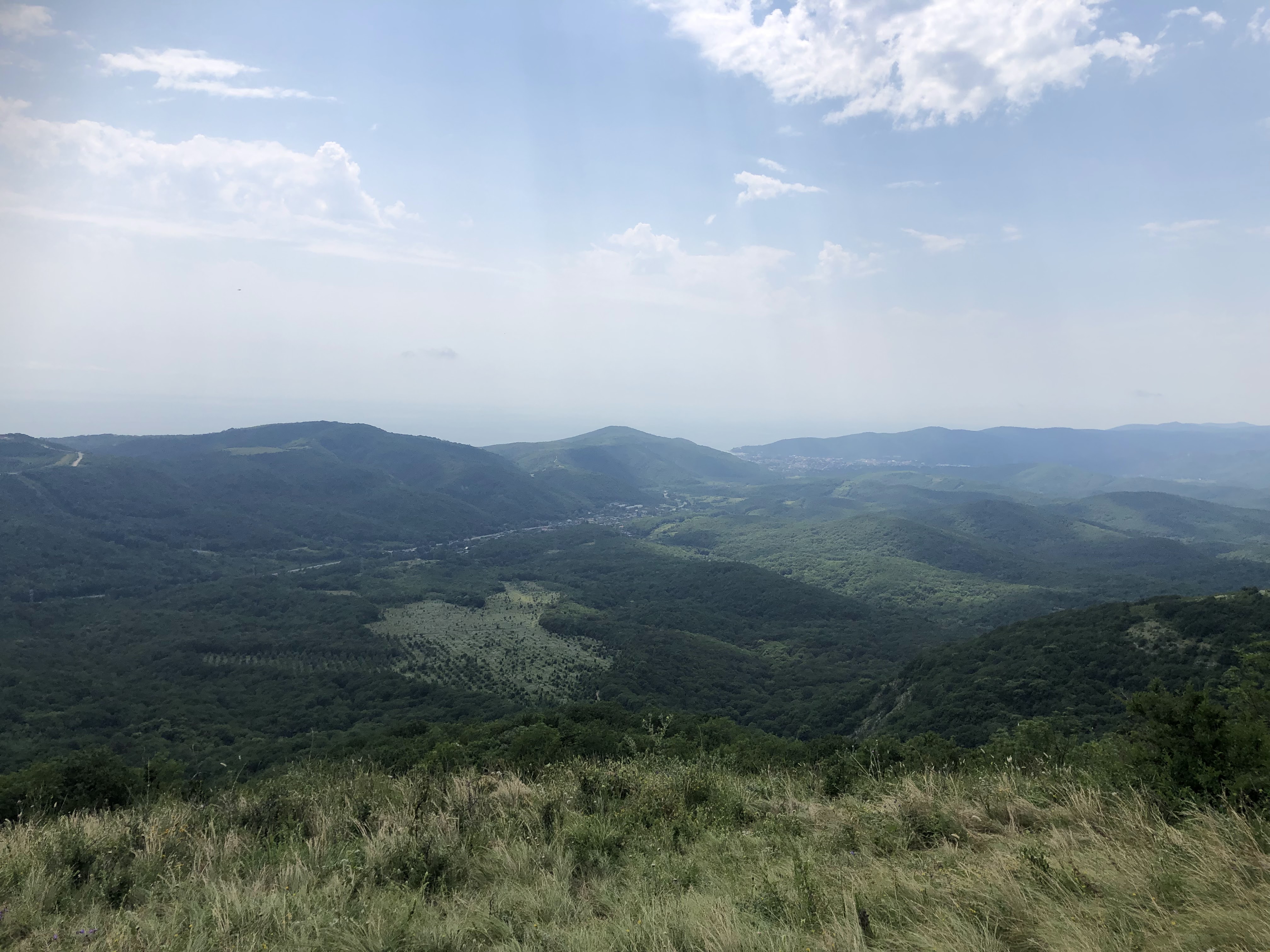
Mount Gebius (also Begius or Ploskaya, "Flat", on old maps) is a 735.6-metre peak on the border of the Gelendzhik and Tuapse districts of Krasnodar Krai, about 10 kilometres northeast of Arkhipo-Osipovka. It is one of the most prominent mountains on the Gelendzhik coast: its rounded outline can be seen from many stretches of the Novorossiysk highway, and the Gebius waterfalls run in the Teshebs river valley at its foot.
The summit is rounded and nearly flat, which explains its old name. On top lies a wide meadow that is covered with flowers, mountain herbs and grasses in summer.
The main sight nearby is the Gebius waterfalls, also called the Tesheb waterfalls, in the Teshebs river valley. The group has seven cascades; the best known are Shnurok ("Shoelace", about 17 metres), Grot ("Grotto", about 15 metres) and Past Dyavola ("Devil's Mouth", about 13 metres). A fee may be charged for the maintained trail to the falls.
Sources give several spellings: Gebius, Begius, Bigius, Bigus. They are probably variants of the same place name recorded on maps of different years.
The origin of the name is disputed. It is most often considered Adyghe, with Gebius read as "head of two brothers" and Bigius as "jug". However, these names contain no word elements meaning "head", "two", "brothers" or "jug", so the translation is doubtful. Other versions exist too: a Greek one, reading the name as "stone brothers", and a Turkic one linking it to the word for "upside down".
A legend tells of an old man and his three daughters: having lost them, the father turned to stone, and his tears became the waterfalls flowing from Mount Gebius.
A hike up Mount Gebius is usually combined with a visit to the Teshebs waterfalls. The starting point is near the hamlet of Teshebs on the Novorossiysk – Sochi road, where the Gelendzhik and Tuapse districts meet, next to the sign at the entrance to the Gelendzhik resort area. From the edge of the hamlet a good concrete road leads uphill.
The walking part of the route to the summit combined with the falls is about 14 kilometres, and the trip from the road and back takes 4 to 4.5 hours. The falls alone are 1.5 to 5 kilometres one way, depending on the trail. Another option is to climb from the village of Tekos, about 13 kilometres from the mountain.
No votes yet


No reviews yet. The first one helps the next travellers.