

Mount Hebius
3.6 km1.7k1
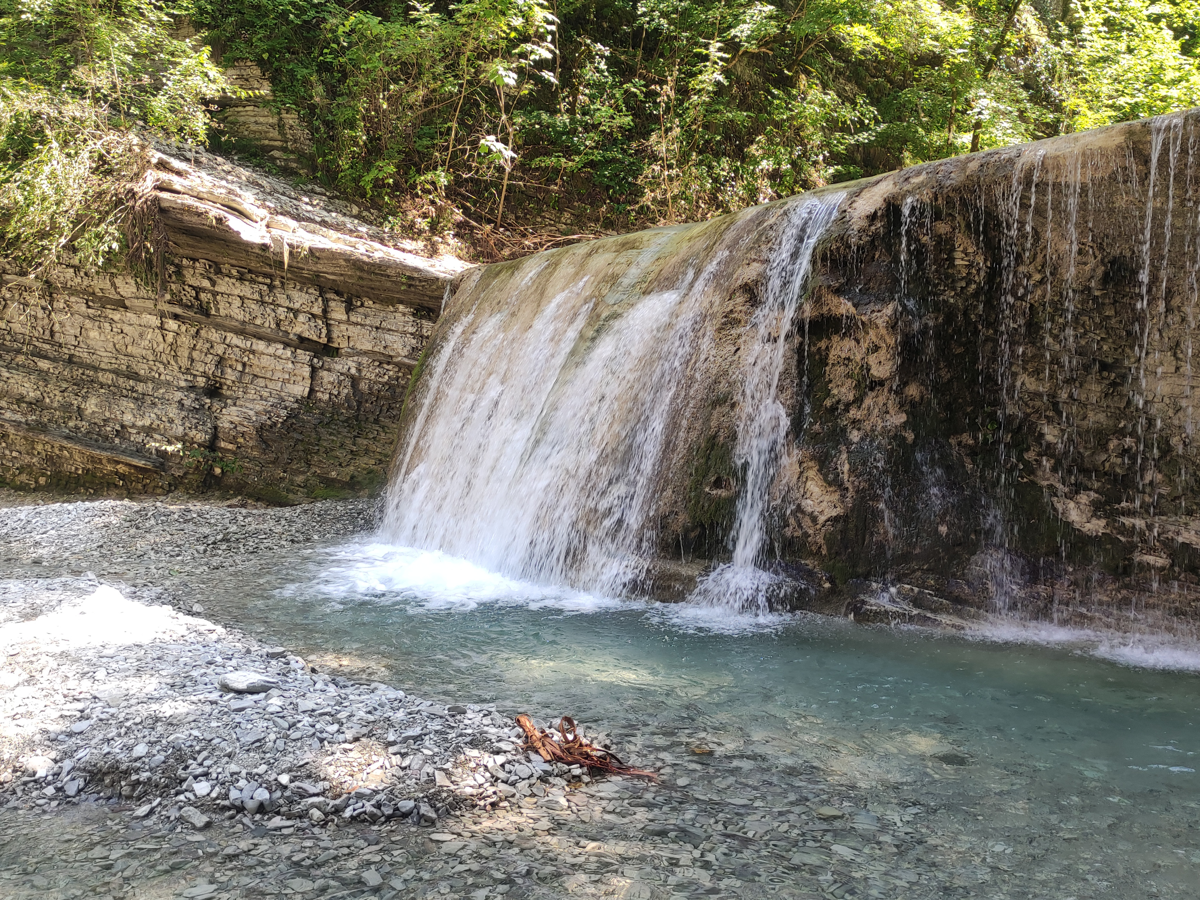
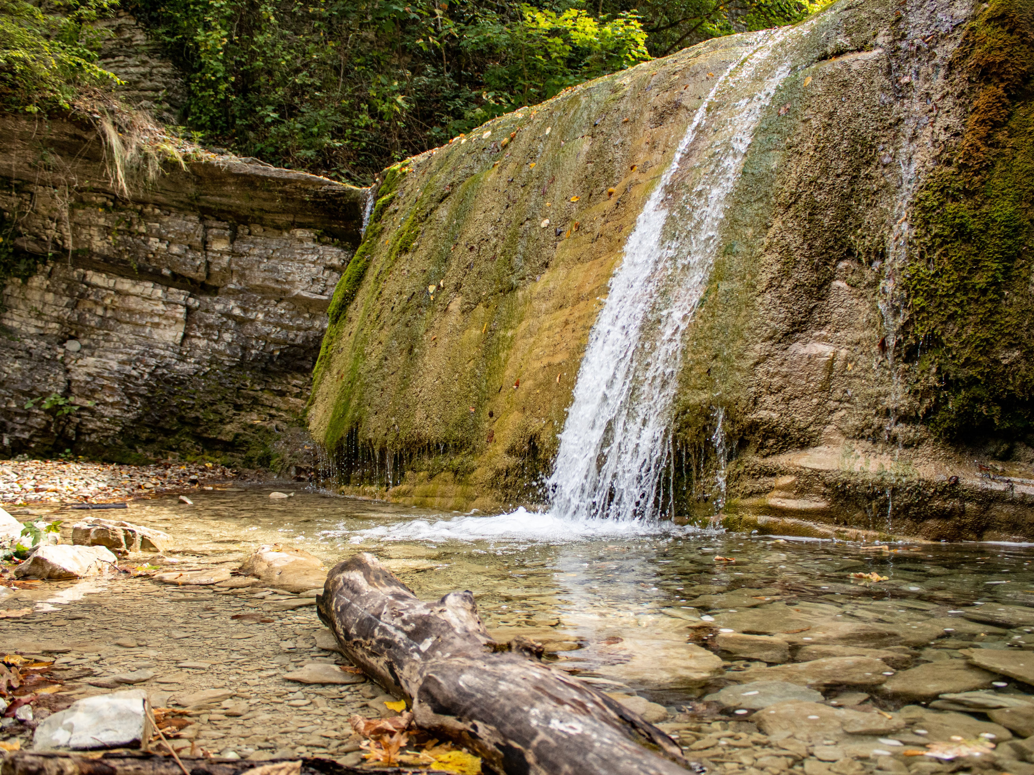
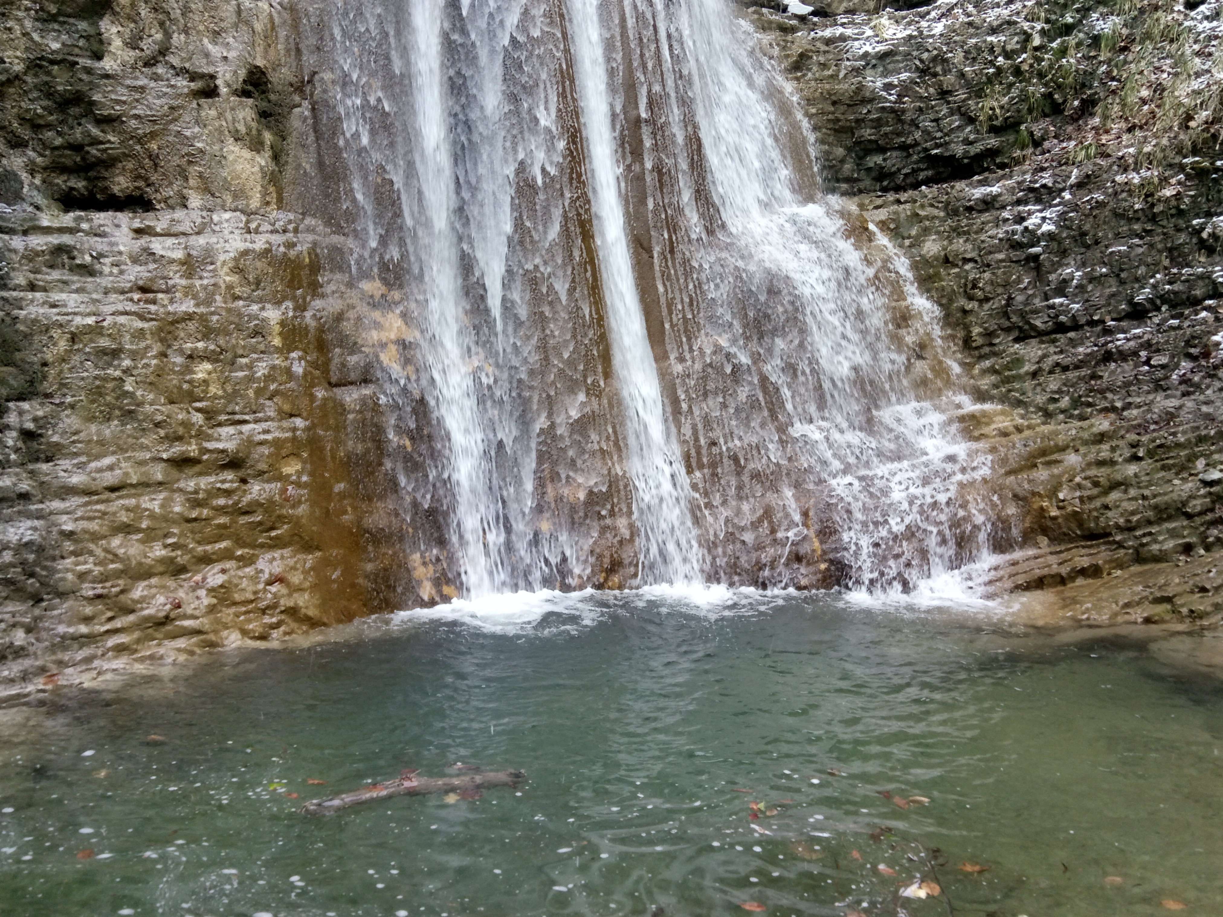
The Polkovnichi Waterfalls are a cascade of nine falls on the Kamenisty stream, a tributary of the Dzhubga River, near the hamlet of Polkovnichy in the Tuapse district of Krasnodar Krai. They are among the best-known waterfalls around Dzhubga: the hamlet lies about 16 kilometres up the valley from the resort, and the falls range from one and a half to 18 metres high.
The hamlet is linked to P. D. Babich, who passed through here with his detachment in 1866 and made a halt at this spot. The place was liked, and soon a settlement grew up where the Dzhubga, the Kamenistaya and the Lyulkina stream meet; it was called Polkovnichy, "the Colonel's", and the waterfalls took their name from it. About 60 people live in the hamlet today.
The falls have been a hiking route since the 1960s and 1970s, when staff of the Zarya motor tourist centre laid out a trail along the stream.
Every waterfall has a name. The first, Naves ("Canopy"), also called Bull's Head, is a broad rock step 2 to 3 metres high about three kilometres from the hamlet. It is the busiest: jeeps bring visitors to it, and there is a shelter with tables and benches, a toilet and a bathing pool. Further up the bed come Bronzovy (about 5 metres), Goat Path and Bride's Veil.
The fifth and sixth falls, with the steps around them, are known as the Three Bogatyrs; the sixth has a small cave with dripstone formations. The seventh, Big Polkovnichi, is the tallest in the cascade at about 18 metres, and a side path with a rope leads up to its top. Then come the small Mushroom and the last one, Upper Polkovnichi or Gates of Paradise, some 1.3 kilometres beyond the eighth.
As you climb, the banks grow higher, showing rock strata, grottoes and scree, and a viewpoint on the cliffs looks out to the Main Caucasus Range. In wet seasons people count more steps, up to twelve.
The hamlet is on the M-4 Don highway between Dzhubga and Krasnodar; a signposted turn leads to a gravel road and a narrow bridge over the Dzhubga. Without a car, take any intercity bus from Dzhubga or Lermontovo towards Krasnodar and get off after Defanovka. Cars are left at paid parking in the hamlet.
The trail starts at the "Waterfalls" sign on the edge of the hamlet. The first kilometres follow the stream bed with hardly any climbing; further on there are steep sections with fixed cables. It is about 7 kilometres and 4 to 5 hours one way to the last waterfall, so plan a full day for the whole route.
Much of the walk is in water, so wear shoes you do not mind getting wet. The best seasons are spring, when the water is high, and autumn with its fallen leaves; in summer and early autumn the stream gets very low and the falls may almost dry up. Mobile coverage in the hamlet is patchy.
No votes yet


No reviews yet. The first one helps the next travellers.