 Natural wonder


Temple of Veles
1.01.2 km3.6k2
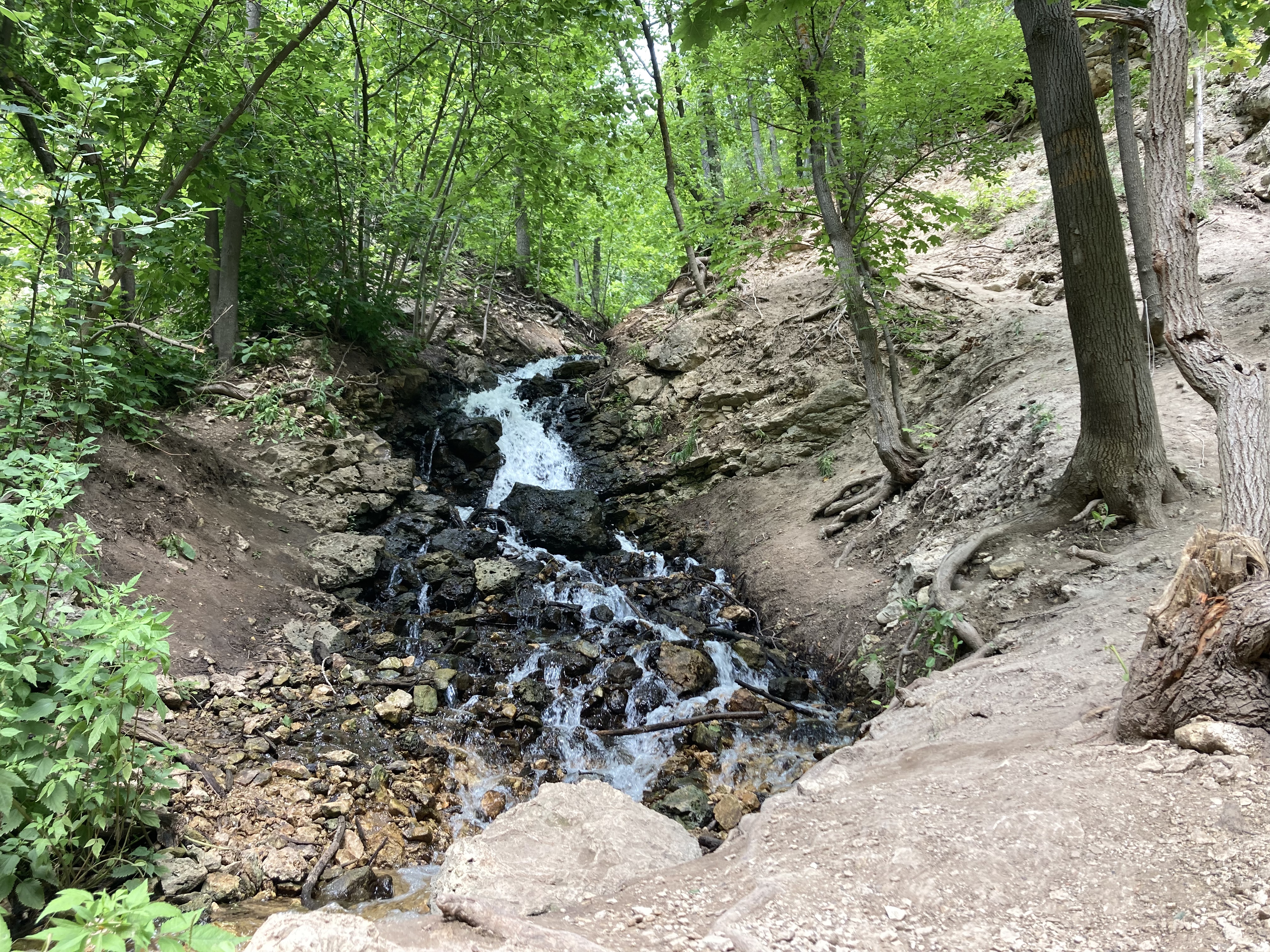
Koptev Ravine (Koptev ovrag) is a deep wooded ravine in the Sokolyi Hills on the left bank of the Volga, within the city of Samara, between the Volzhskoye Highway and the river, close to the Upravlenchesky settlement. It runs about 4 km down to the Volga, with a drop in elevation of 160–170 m. A small waterfall, an old rubble-stone wall, a prisoner-of-war cemetery and a serpentine road make Koptev Ravine one of the best-known hiking and cycling spots in the Samara Region.
The name probably comes from the Russian word "kopot" (soot), which was used for a pit where pitch or tar was made. P. S. Pallas mentions the ravine in his notes as the "Koptev, or Charcoal, gully" and describes it as a valley of "extreme cold". There is also a local tale of an estate belonging to a boyar named Koptev, whose house foundations are said to remain near the Birch Grove, but it has no documentary support.
In the early 20th century construction of a military factory began in the ravine: some sources describe it as a fuse factory linked to the Russo-Japanese War, others as a gunpowder plant founded in 1916 for the First World War. The remains of a small clay workshop from the same period survive on the southern slope. In Soviet times the slopes were planted with apple and other fruit orchards.
The ravine's main legend concerns the Old Believers. According to local accounts, in the mid-19th century, before Easter 1844, groups of people withdrew here "into the wilderness" to await the end of the world. The details are known only from retellings.
The slopes are covered with deciduous forest, and an oak grove has survived.
From central Samara, take a bus along the Volzhskoye Highway to the "7th Uchastok" stop. Cross the road and walk about a kilometre along Koptevskaya Street, which then descends into the ravine. A road along the bottom leads to the Volga shore, the sanatorium and the Greve Brothers' Cave. The route is popular with hikers and cyclists; the dirt descents get slippery after rain.
No votes yet


No reviews yet. The first one helps the next travellers.