 Mountain


Oroktoyskaya Cave
24.7 km31
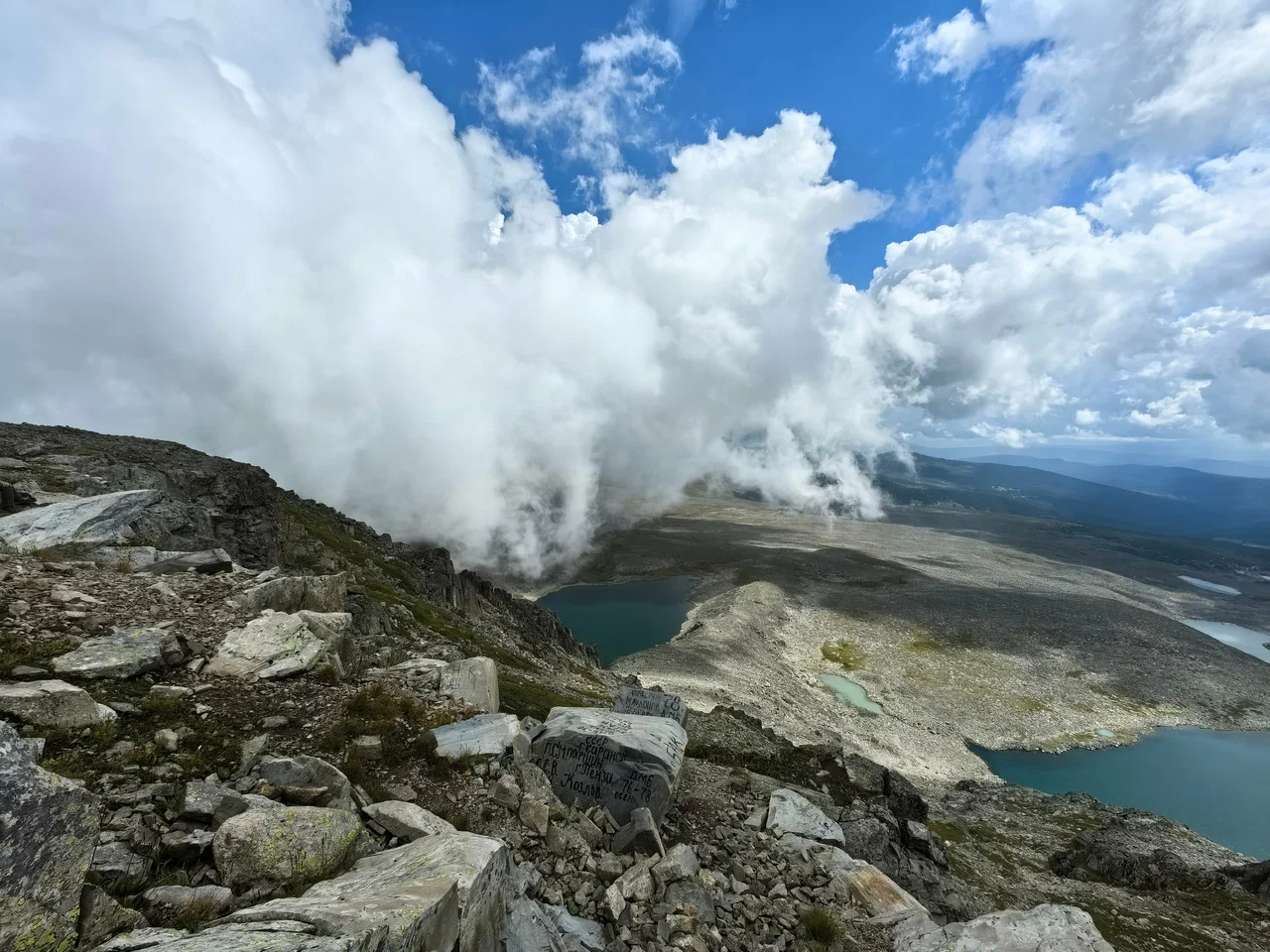
Mount Sarlyk is the highest point of the Seminsky Ridge in the Altai Republic, on the border between the Shebalinsky and Ongudaysky districts, rising to 2,507 meters. It lies about 140 kilometers from Gorno-Altaysk. The summit is a wide rocky plateau, clearly visible from the Seminsky Pass.
The mountain's eastern slope drops steeply toward the Tuyuk valley, home to the Kurata and Tuyuk lakes. The western slopes are gentler: above 2,200 meters they are covered with large kurum fields — expanses of boulder scree. The Sarlyk River and the Tuyuk River both rise on the mountain's slopes and flow into the Sema, a tributary of the Katun. The mountain is known for strong winds, and snow patches on its slopes often last through the whole summer. From the summit there is a panoramic view of the Katunsky and Bashelaksky ridges.
The mountain's name translates from Altai as "wild yak". According to legend, the outline of the massif resembles this animal, which once often grazed on its slopes.
Mount Sarlyk is about 140 kilometers from Gorno-Altaysk. There are two common approaches: via the Seminsky Pass, from where a gravel road leads toward the summit, or via the village of Topuchaya in the Ongudaysky district. From Topuchaya the hike to the top covers 7–9 kilometers along the Sarlyk River, passing a derelict military post. The ascent is generally considered easy and usually takes about four hours, though scree slopes appear along the way.
In winter, the slopes of Mount Sarlyk are popular among extreme backcountry skiers. The summit is almost always windy, and snow patches can be found on the northern slopes even at the height of summer, so warm clothing is worth bringing along.
No votes yet


No reviews yet. The first one helps the next travellers.