
Стоянка на берегу р.Бердь
5.031 km1.9k
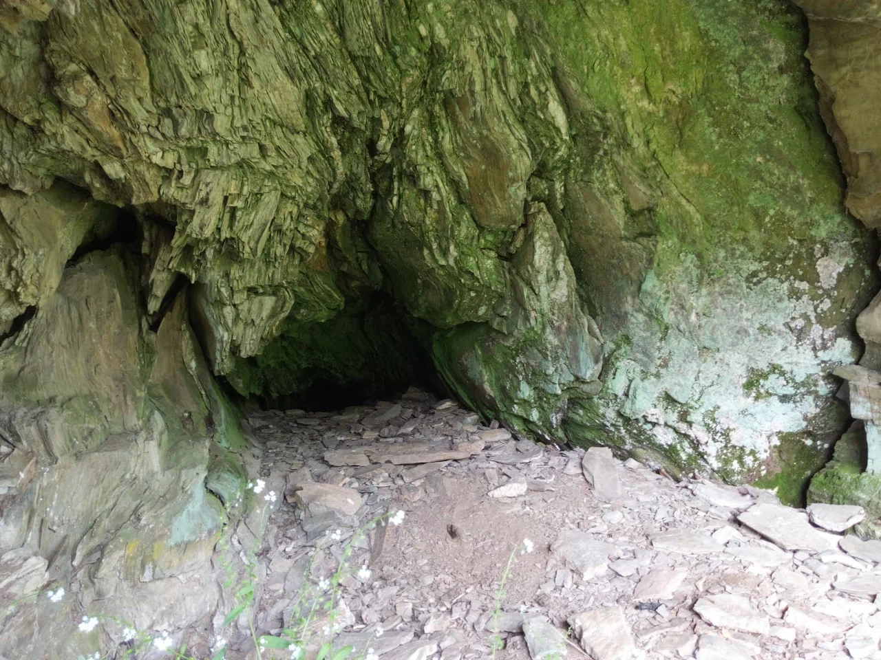
Verkh-Koyonsky Grotto, also known as Koyonsky Grotto, is a karst niche in the Iskitimsky district of Novosibirsk Oblast, on the slope above the Bryushikha brook. The nearest settlement is the village of Verkh-Koyon, about two kilometers away; the settlement of Gorny lies four to five kilometers off. The grotto is small but a notable natural landmark: the Turkic origin of the area's name and the site's remoteness have long made it the subject of local legends.
The grotto is a parabolic niche in a limestone cliff, about five meters long and up to two meters deep. The floor is flat, but the far end is blocked by limestone blocks that have fallen from the ceiling. The niche formed through weathering and the washing-out of softer rock from a thickness of ancient limestone — a classic karst grotto rather than a cave with passages running deep into the hillside.
Below the grotto, on the Bryushikha brook, there is a small waterfall. It appeared on the site of an old beaver dam: the dam eventually collapsed, but the drop in the streambed remained and now looks like a miniature waterfall.
The first written mention of the grotto dates back to the late 19th century. For a long time the place was known mainly to locals and a handful of regional history enthusiasts, until in 2020 Koyonsky Grotto was included in a collection of landmarks of Novosibirsk Oblast — after that, tourism and local-history resources began writing about it more often.
Several oral traditions are tied to the grotto. According to one version, the name of the surrounding area comes from the Turkic word "koy," meaning sheep. It is said that during the Civil War, detachments of both the Reds and the Whites took shelter in the grotto at different times, and that treasure was later supposedly hidden there. There is also a version that in earlier times the grotto served as a shamanic sanctuary. All of these are local folklore with no documentary confirmation, but they remain part of the place's story.
The grotto can only be reached on foot: from the nearest point accessible by car (starting coordinates around 54.869915° N, 83.508282° E), it is about 2.34 km to the grotto itself over rough terrain along the Bryushikha brook. The approach is considered difficult, especially in autumn when the path turns muddy — sturdy footwear and daylight hours are worth planning for.
No votes yet


No reviews yet. The first one helps the next travellers.